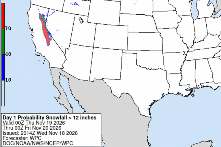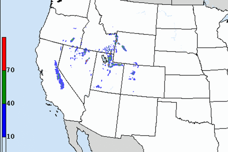
ELKO, Nev. — The National Weather Service in Elko has a Winter Storm Warning for the Ruby Mountains and East Humboldt Range from midnight Wednesday night to 4 p.m. Friday. Forecasters expect 8 to 18 inches of snow, with gusts up to 40 mph. Falling and blowing snow could cut visibility below a quarter mile, and the office says travel could be very difficult to impossible during both the Thursday morning and evening commutes.
Rain first, then snow
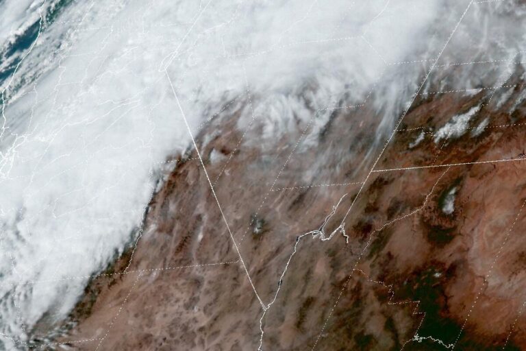
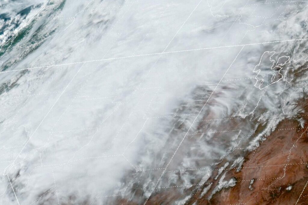
The storm is the next strong trough in an active pattern, and it brings several rounds of rain and snow to the Great Basin through Friday evening. Snow levels start around 6,000 feet. Valleys and passes could see rain at first, turning to snow overnight into Thursday morning. Forecasters expect snow levels to reach the valley floors by late Thursday evening or early Friday morning, and sooner if temperatures run colder than forecast.
How much where
The office expects 8 to 18 inches or more in the mountain ranges, 4 to 7 inches on passes and road summits, 2 to 5 inches in higher valleys and a half inch to 3 inches in lower valleys.
A Winter Weather Advisory covers much of the rest of northern and central Nevada over the same hours. It calls for 1 to 3 inches in Humboldt County, northern Lander and Eureka counties and southwest and south-central Elko County. Northern Elko County, White Pine County and southern Lander and Eureka counties could get 2 to 5 inches. Higher passes and summits in all of those areas could get 3 to 7 inches.
Wind and snow squalls
Gusty south to southwest winds continue through Friday. They will be strongest in central Nevada: northern Nye, White Pine, southern Lander and southern Eureka counties could see winds of 20 to 30 mph with gusts to 40 mph, enough to cause blowing and drifting snow. Farther north, winds of 15 to 25 mph could gust to 35 mph. Forecasters say the mix of wind and snow will make highway driving hazardous from Thursday evening through Friday.
A cold front on Friday will turn the wind to the northwest. With the main trough overhead, convective snow showers and snow squalls are possible and could add to local totals. The best chance is in central Nevada along the U.S. 50 corridor.
Coldest night Saturday
Colder air follows the storm. The office expects the lowest temperatures of the week on Saturday night.
Cities affected
- Elko, Nev.
- Spring Creek, Nev.
- Wells, Nev.
- Ely, Nev.
- Winnemucca, Nev.
What to do
- Check NDOT’s nvroads.com or call 511 before Thursday and Friday trips.
- Carry a winter kit with a blanket, water, food, a flashlight and a phone charger.
- Slow down for sudden whiteouts in snow squalls on Friday, especially along U.S. 50.
- Leave extra room behind snowplows and trucks.
Lodi Valley Chronicle publishes a new U.S. weather briefing every morning.