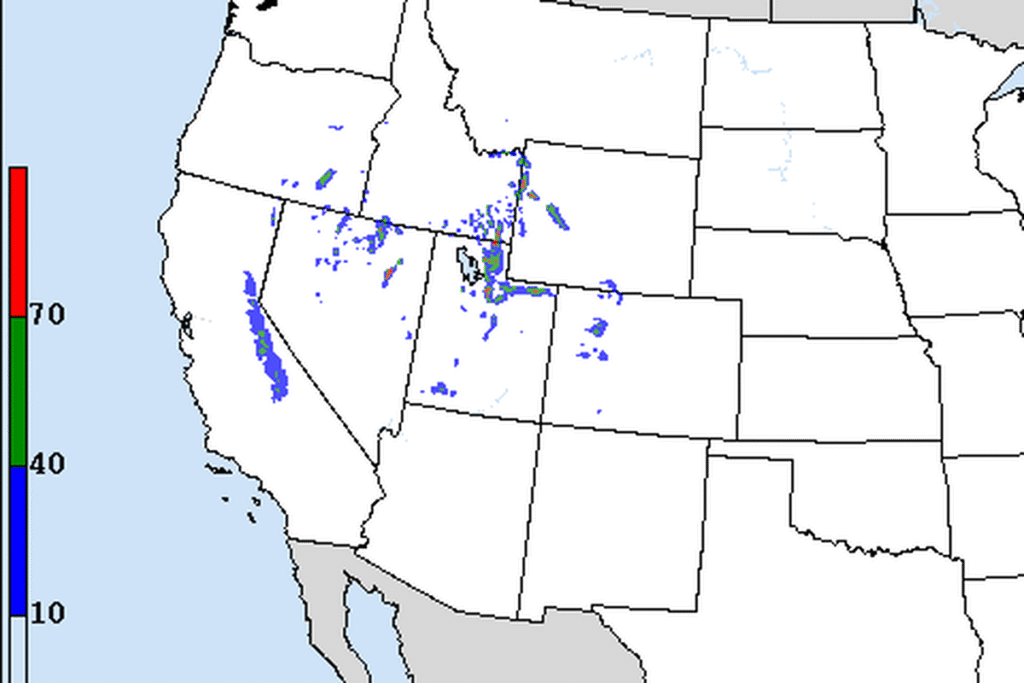
SALT LAKE CITY — The National Weather Service in Salt Lake City has a Winter Weather Advisory for the Wasatch Mountains and western Uinta Mountains from 11 a.m. Thursday to 11 a.m. Saturday. Forecasters expect 10 to 20 inches of snow in the Wasatch, with locally higher totals in the upper Cottonwood canyons, and 4 to 8 inches in the western Uintas.
Park City and Heber City
A separate part of the advisory covers the Wasatch Back from 11 a.m. Thursday to 5 a.m. Saturday. It calls for 2 to 7 inches of snow, with less in the lower terrain near Heber City and more in the higher terrain near Park City and the Ogden Valley. The office says the snow will affect the Thursday evening and Friday morning commutes.
Southern Utah goes first
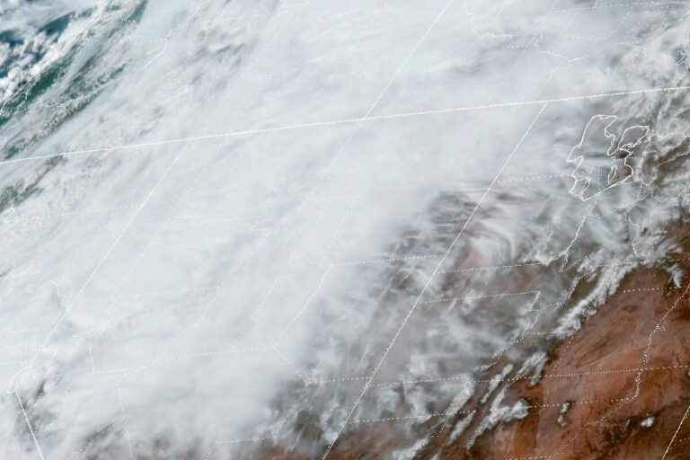
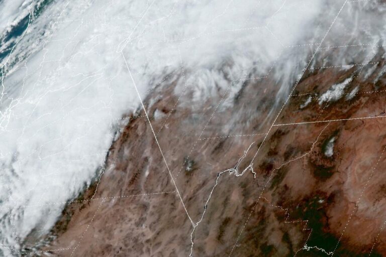
Forecasters say a broad, slow-moving trough will bring the storm through in pieces from Thursday morning through Saturday morning. The first round arrives Thursday and is heaviest in southern Utah, as an atmospheric river curls around the southern end of the Sierra under a jet stream of more than 110 knots. Snow levels start at 6,000 to 6,500 feet.
The advisory for the southern mountains runs from 11 a.m. Thursday to 5 p.m. Friday. It calls for 3 to 6 inches above 6,500 feet, with up to 8 inches around Brian Head. That first round leaves Friday afternoon, and it will likely be southern Utah’s only round.
Valley snow Friday night
A second wave on Friday evening brings colder air that could lower snow levels to the valley floors. Forecasters say the models disagree on where the snow will focus. A more westerly flow would favor Weber and Davis counties, especially the benches, while a more northwesterly flow would favor the Tooele and Salt Lake valleys.
Once rain turns to snow, valleys could get 1 to 4 inches, and snow could continue into Saturday morning in the favored areas. The northern mountains could see 24 inches or more on the slopes that do best in this flow.
A cold stretch
The Salt Lake City airport had its first freeze of the season this week, tying the latest first freeze on record, after Tuesday’s widespread valley snow. Temperatures stay 3 to 8 degrees below normal through next week. The first freeze is likely around Zion National Park and lower Washington County on Saturday and Sunday mornings. Half of the forecast models bring another system on Monday that could be cold enough for valley snow.
Cities affected
- Salt Lake City, Utah
- Ogden, Utah
- Park City, Utah
- Heber City, Utah
- Brian Head, Utah.
What to do
- Check UDOT Traffic (udottraffic.utah.gov) or call 511 for canyon traction rules and closures.
- Use four-wheel drive or chains in the Cottonwood canyons and on mountain passes.
- Allow extra time for the Friday evening commute if rain turns to snow in the valleys.
- Protect pipes and plants around St. George on Saturday and Sunday mornings.
Lodi Valley Chronicle publishes a new U.S. weather briefing every morning.