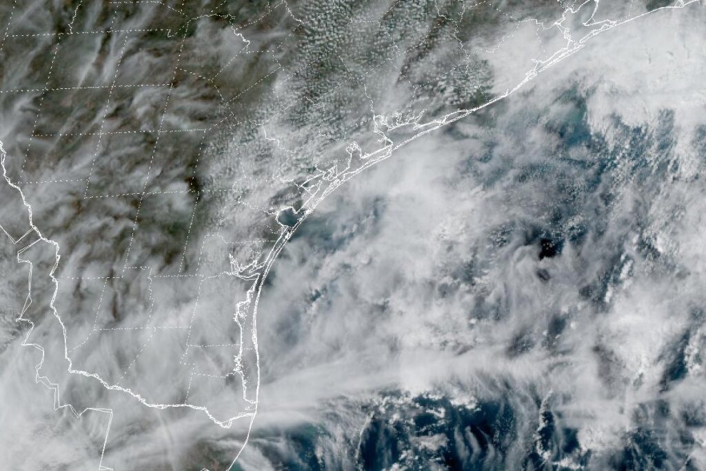
CORPUS CHRISTI, Texas — The National Weather Service in Corpus Christi has a Coastal Flood Advisory for the Coastal Bend until midnight Thursday night. Minor flooding of lots, parks and roads is expected along the coast and barrier islands of Nueces, Aransas, San Patricio, Kleberg, Refugio and Calhoun counties, from Port Aransas and Rockport to Port Lavaca. The office expects only isolated road closures.
Why the water is up
Forecasters link the flooding to a low-pressure system over the northern Gulf, which will keep northwesterly winds going through the end of the week, and to long-period swells arriving about every 9 seconds. The rip current risk on Coastal Bend beaches stays moderate. Offshore, a small craft advisory runs through Thursday for winds of 15 to 20 knots and seas around 7 feet.
South Padre Island
The National Weather Service in Brownsville extended its Coastal Flood Advisory for the barrier island beaches of Kenedy, Willacy and Cameron counties until 6 a.m. Friday. Water is expected to reach or push into the dunes on South Padre Island. Only vehicles with four-wheel drive and high clearance will be able to drive on the beach, including north of Public Beach Access No. 3. Minor to moderate beach erosion is expected, and long-period swells will keep the beaches narrow.
The highest water is expected around high tide: 10:49 p.m. Wednesday, 11:04 a.m. Thursday and 10:41 p.m. Thursday. A High Surf Advisory for breakers of 4 to 5 feet runs until 6 p.m. Thursday, and a high risk of rip currents lasts through Thursday afternoon. Surf is down from Monday, when breakers up to 8 feet were forecast.
Pleasant weather otherwise
Away from the water, the week looks calm. Highs reach the 70s, and Thursday morning lows range from the upper 50s in the ranchlands to the 60s in the Rio Grande Valley. Drier than normal air keeps most rain away, though showers over the Gulf could bring a 20% to 30% chance of rain near the coast on Thursday. Brownsville expects highs in the low 80s across the region by Saturday.
Fronts next week
A cold front could bring rain chances back late Sunday, around 20% to 30% in the Coastal Bend and 30% to 50% in the Rio Grande Valley. Models show another, stronger front sometime from Monday to Wednesday, but forecasters have low confidence in its timing.
Cities affected
- Corpus Christi, Texas
- Port Aransas, Texas
- Rockport, Texas
- Port Lavaca, Texas
- South Padre Island, Texas.
What to do
- Don’t drive through water on coastal roads; it may be deeper than it looks.
- Move cars and equipment away from low lots and beach parking areas before high tide.
- Stay off the beach in vehicles without four-wheel drive and high clearance.
- Swim near a lifeguard. If caught in a rip current, float and swim parallel to the shore.
Lodi Valley Chronicle publishes a new U.S. weather briefing every morning.