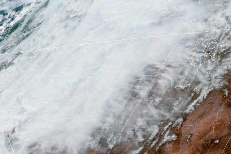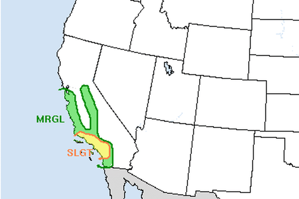
LOS ANGELES — The National Weather Service in Los Angeles has a Flood Watch for most of Southern California’s coast, valleys and mountains as a strong Pacific storm moves south Wednesday night and Thursday. The watch runs through early Thursday in San Luis Obispo County, from 8 p.m. Wednesday to 1 p.m. Thursday in Santa Barbara County, from 1 a.m. to 3 p.m. Thursday in Ventura County and from 6 a.m. to 6 p.m. Thursday in Los Angeles County. Only the Antelope Valley is left out.
How much rain
Forecasters expect 1 to 2 inches of rain in most coastal and valley areas and up to 3 inches where the heaviest rain sets up, most likely in parts of southern Santa Barbara County. South-facing mountain slopes could get 2 to 5 inches. At the storm’s peak, rain could fall at half an inch an hour or more, with bursts near 1 inch an hour, most likely in the Santa Barbara and western Ventura County mountains.
The office warns of significant flooding of roads and low-lying areas, heavy flows in creeks and canyons, rockslides, mudslides, and debris flows in recent burn scars. Streets and freeways could be very wet and slick, and at times impassable.
Thunderstorms and a small tornado risk
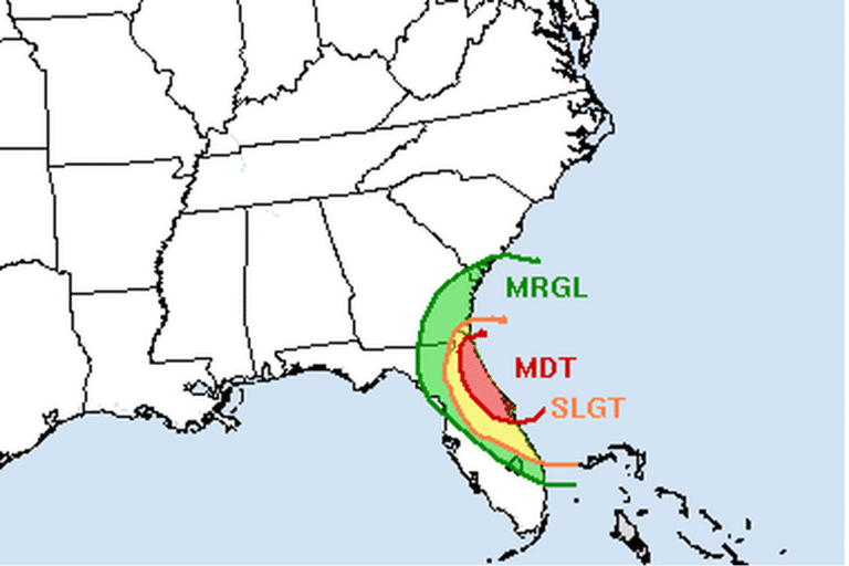
Forecasters expect about 2 to 4 hours of thunderstorms in most areas as the strongest part of the storm moves through. In Los Angeles, the worst weather is most likely from about 5 to 10 a.m. Thursday, when a strong line of storms is expected to cross the area around Los Angeles International Airport. The office puts the chance of a weak tornado at 5% or less, with the best chance in the Los Angeles Basin on Thursday.
Gusts could reach 35 mph at lower elevations and 50 mph in the mountains. Forecasters suggest not parking under trees and securing heavy patio furniture.
Big surf on the Central Coast
Breaking waves of 10 to 18 feet, with sets of 18 to 22 feet, are expected on San Luis Obispo County and central Santa Barbara County beaches, peaking from late Wednesday night through Thursday night. A Coastal Flood Advisory from 3 to 10 a.m. Thursday warns of moderate flooding of beach parking lots, bike paths and harbor walkways around high tide. Waves could break into Morro Bay Harbor and reach the bases of the Pismo and Cayucos piers, where isolated damage is possible.
Snow only up high
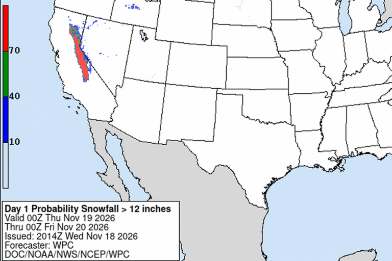
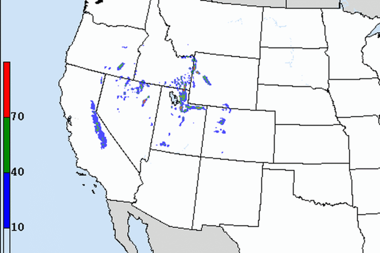
Freezing levels stay above 7,500 feet for most of the storm. In its last few hours, 3 to 6 inches of snow could fall, mostly above 7,000 feet. The office says that is too high, with too little impact, to issue snow alerts.
Dry by Friday
Dry weather returns Friday and Saturday, with light offshore winds and highs mostly in the 60s, still below normal. A weaker system could arrive as early as Sunday. It will likely bring rain to the Central Coast, and forecasters give areas south of Point Conception about a 40% chance of rain.
Cities affected
- Los Angeles, Calif.
- Ventura, Calif.
- Santa Barbara, Calif.
- San Luis Obispo, Calif.
- Santa Clarita, Calif.
What to do
- Never drive through a flooded road. Turn around and find another way.
- If you live near a recent burn scar, know your evacuation route and follow orders from local officials.
- Allow extra time on Thursday morning, when streets and freeways may be slick or flooded.
- Stay off the rocks and out of the water at Central Coast beaches.
Lodi Valley Chronicle publishes a new U.S. weather briefing every morning.