LAS VEGAS — The National Weather Service in Las Vegas has a Winter Weather Advisory for the Spring Mountains and Red Rock Canyon from 4 a.m. Thursday to 4 a.m. Friday. Forecasters expect up to 3 inches of snow between 6,000 and 7,000 feet and 3 to 9 inches between 7,000 and 9,500 feet, with more possible higher up and gusts as high as 50 mph. Around Mount Charleston and Lee Canyon, the office says 4 to 8 inches is most likely, with a 10% chance of 10 inches or more.
Slick roads both commutes
The office says to plan on slippery roads during both the Thursday morning and evening commutes, especially on bridges and overpasses. It warns that strong winds could cause extensive damage to trees and power lines.
The storm’s path
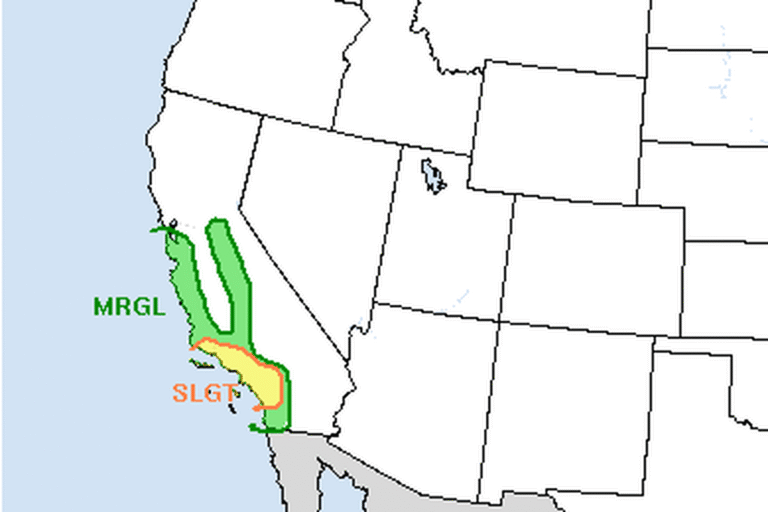
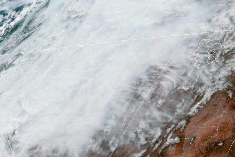
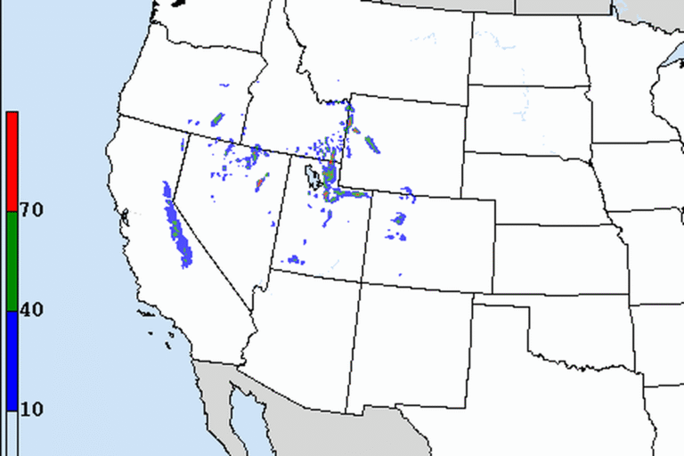
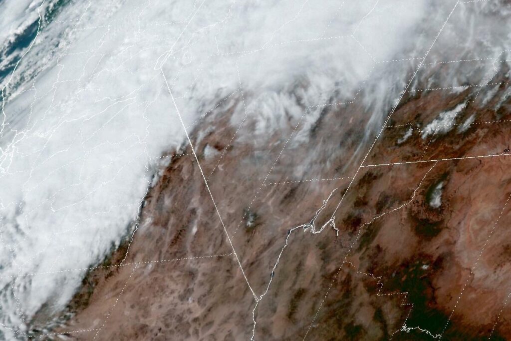
A closed low moving down the Pacific Northwest coast will dig southeast over the next day or so, bringing unsettled weather to southeastern California, southern Nevada and northwestern Arizona through Friday. The main band of rain and snow pushes east early Thursday, continues through the day and leaves Thursday night. Most valleys outside Inyo County, including the Las Vegas Valley, should get less than a tenth of an inch of rain.
The heaviest snow falls in the eastern Sierra, where the highest elevations could get 3 to 4 feet. The same advisory covers the White Mountains of Inyo County until 4 a.m. Friday, with 3 to 6 inches of snow between 5,000 and 7,000 feet and 6 to 12 inches between 7,000 and 9,500 feet. Rain totals in the Owens Valley around Bishop could reach a half inch to an inch by Thursday evening.
Wind from Pahrump to Lake Havasu City
Wind Advisories cover a large part of the region. South winds of 20 to 30 mph, with gusts up to 45 mph, are expected until 10 a.m. Thursday in the Owens Valley, Death Valley National Park, Esmeralda and central Nye counties, and western Clark and southern Nye counties, including Pahrump. Blowing dust near dry lake beds could cut visibility.
From 10 a.m. Thursday to midnight Thursday night, southwest winds of 20 to 30 mph with gusts up to 45 mph are expected across southern Clark County, Lake Mead and Lake Mohave, Lake Havasu and Fort Mohave, northwestern Arizona and the Mojave Desert of San Bernardino County. Forecasters say the wind will make driving difficult for high-profile vehicles, blow around unsecured objects and could knock down tree limbs and cause a few power outages.
A short break
Conditions improve Friday into Saturday as the storm moves east. Temperatures stay cooler than normal through the weekend, and another system looks likely early next week.
Cities affected
- Mount Charleston, Nev.
- Pahrump, Nev.
- Laughlin, Nev.
- Lake Havasu City, Ariz.
- Bishop, Calif.
What to do
- Before heading up Kyle Canyon (State Route 157) or Lee Canyon (State Route 156), check NDOT’s nvroads.com or call 511.
- Carry chains or use four-wheel drive in the Spring Mountains on Thursday.
- Tie down or bring in patio furniture, trash cans and holiday decorations.
- Drivers of trucks, RVs and trailers should slow down on open desert highways when gusts pick up.
Lodi Valley Chronicle publishes a new U.S. weather briefing every morning.