ST. GEORGE, Utah — The National Weather Service in Salt Lake City has a Freeze Warning for lower Washington County and Zion National Park from 9 p.m. Friday to 9 a.m. Saturday. Temperatures could fall as low as 25 degrees, cold enough to kill crops and other sensitive plants and possibly damage unprotected outdoor plumbing.
The office issued the warning at 10:58 a.m. Friday. It covers St. George, Washington and Hurricane in lower Washington County, along with the Zion National Park area, including Springdale.
Clearing skies, cold air
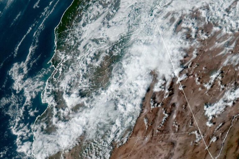
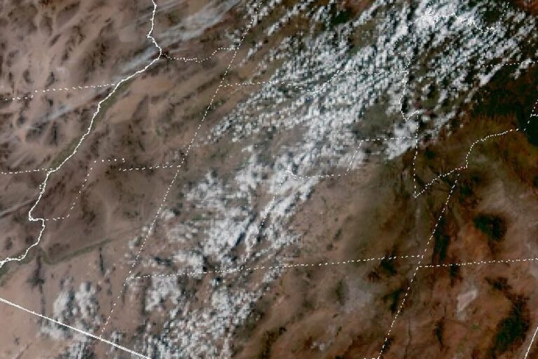
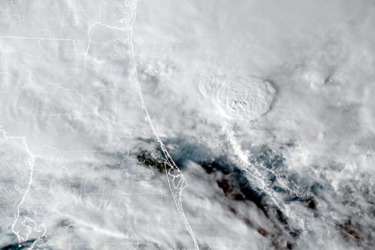
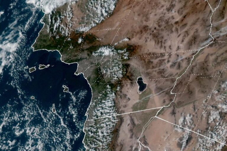
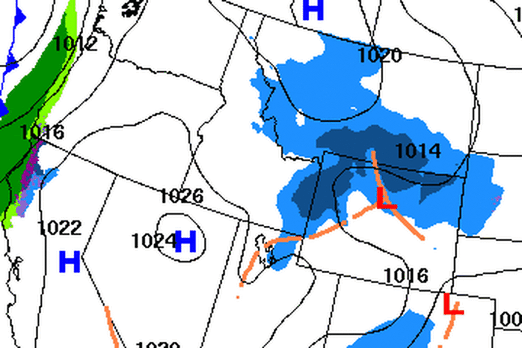
The storm that brought rain and mountain snow to Utah this week is moving out, and high pressure takes over for the weekend. With skies clearing quickly over southern Utah, temperatures will drop noticeably Friday night in an unseasonably cold air mass.
Forecasters give a high chance of below-freezing temperatures in the Virgin River corridor near Zion, and a good chance of freezing or near-freezing temperatures in parts of lower Washington County, on Saturday morning.
Sunday morning, too
Lows creep up a bit Sunday morning but could stay near freezing in the same areas. Highs on Saturday will run 5 to 10 degrees below normal, then come back Sunday to near normal or up to 5 degrees below.
The weekend stays dry across Utah and southwest Wyoming under high pressure. The ridge is expected to move east late in the weekend, and the office expects an active pattern to continue across the West next week.
The storm winds down up north
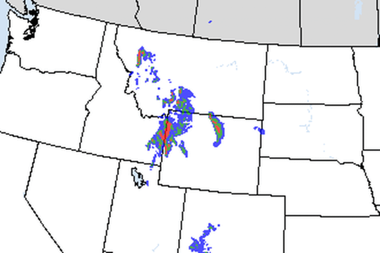
In northern Utah, the storm’s last precipitation is focused from Ogden north, with light snow near the Idaho line through early Saturday. Snow levels were expected to drop to the valley floors by late Friday evening, though the precipitation will likely have ended over much of the Wasatch Front by then, limiting how much snow sticks. A Winter Storm Warning remains in effect for the Wasatch Mountains until 11 a.m. Saturday.
More storms next week
The office has high confidence in another storm on Monday. It will be weaker than the last few but is likely to bring accumulating snow to the mountains. Another system is expected later in the week, though its details are still unclear.
Protect plants and pipes
The office advises taking steps now to protect tender plants from the cold, draining in-ground sprinkler systems and covering above-ground pipes. Frost can form on plants even when the air stays a degree or two above freezing, so gardens just outside the warning could be nipped, too. Anyone heading into Zion early Saturday should expect a cold start and dress in layers.
Cities affected
- St. George, Utah
- Washington, Utah
- Hurricane, Utah
- Springdale, Utah.
What to do
- Cover tender plants or bring potted plants indoors Friday night.
- Drain in-ground sprinkler systems and cover above-ground pipes.
- Bring pets inside overnight.
- Dress in layers for early hikes in Zion on Saturday.
Lodi Valley Chronicle publishes a new U.S. weather briefing every morning.