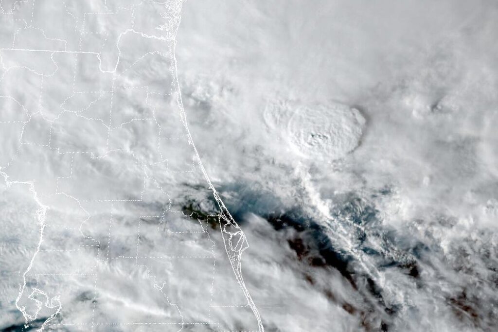
DAYTONA BEACH, Fla. — The National Weather Service in Melbourne issued a Flood Warning at 6:10 p.m. Friday for northern Brevard County and eastern Volusia County. It runs until 8 a.m. Saturday. At 6:07 p.m., emergency managers reported flooding in the warned area, and the office says some roads are impassable or closed.
The heavy rain has ended, but forecasters say the water will be slow to recede overnight. Urban and small-stream flooding from the heavy rain is happening now, and flooding of creeks, streams and other low-lying, flood-prone places is imminent or underway.
Where the flooding is
The warning names Daytona Beach, Port Orange, Ormond Beach, Holly Hill, South Daytona, New Smyrna Beach, Edgewater and Oak Hill in Volusia County. In Brevard County, it names Titusville, Mims, Scottsmoor, Cocoa, Rockledge, Cocoa Beach, Cape Canaveral and Satellite Beach, along with Haulover Canal, the Titusville airport and Playalinda Beach.
More showers Saturday
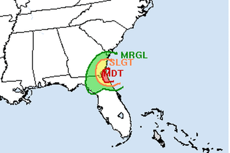
The low-pressure system that brought the rain lifts north and away on Saturday, but a surge of moisture behind it could bring scattered showers, with a 40% to 60% chance. The showers should keep moving at 15 to 20 mph, which limits how much rain falls in one spot, but the office says moderate showers could worsen flooding in places already sensitive from this week’s rain. There is a marginal risk of excessive rainfall from Brevard County north. Highs reach the upper 70s in the north to the low 80s in the south.
Rough surf and beach erosion
A High Surf Advisory runs through Saturday, with rough, pounding surf that could cause moderate to locally major beach erosion. The risk of strong, life-threatening rip currents is high, and the office strongly discourages going in the water. Offshore, seas of 9 to 16 feet are slowly subsiding.
The St. Johns River
Separately, extensive flooding continues along the St. Johns River after exceptional rain in the upper part of the basin over the previous weeks. The office expects this week’s heavy rain to push river levels higher into the weekend, early next week and beyond. The latest river forecasts are at water.noaa.gov/wfo/MLB.
Drier next week
Drier air should filter down the peninsula on Sunday behind a low moving up the East Coast. Rain chances stay low until Tuesday and Wednesday, at 20% to 30%.
To the north, the Weather Service in Jacksonville has a Coastal Flood Warning for Flagler County and the St. Johns River in eastern Putnam County until 7 a.m. Sunday.
Cities affected
- Daytona Beach, Fla.
- Titusville, Fla.
- New Smyrna Beach, Fla.
- Port Orange, Fla.
- Ormond Beach, Fla.
- Cocoa, Fla.
What to do
- Turn around, don’t drown: most flood deaths happen in vehicles.
- Be especially careful at night, when flooded roads are harder to see.
- Don’t walk or drive through standing water, which can hide washed-out pavement and debris.
- Stay out of the surf at area beaches through Saturday.
Lodi Valley Chronicle publishes a new U.S. weather briefing every morning.