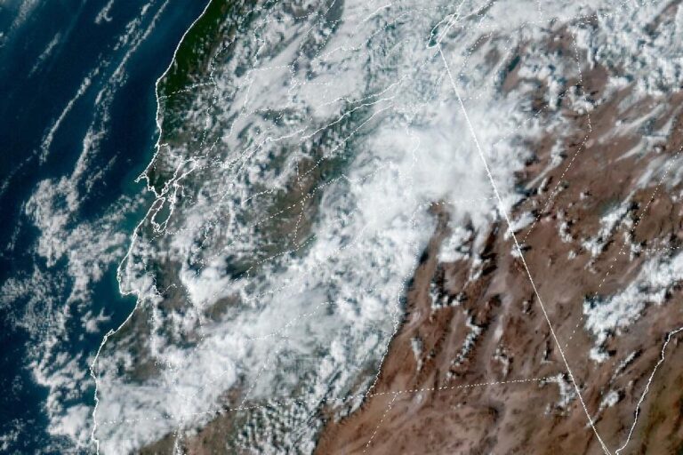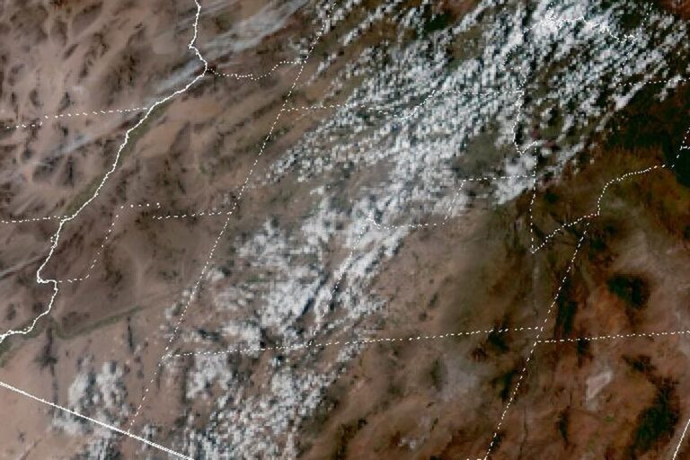
IDAHO FALLS, Idaho — A Winter Storm Warning remains in effect until 5 a.m. Saturday for the Big Hole Mountains, between Swan Valley and Teton Valley, and the Bear River Range, which rises east of Preston in southeast Idaho. The National Weather Service in Pocatello issued the latest version of the warning at 1:25 a.m. Friday, calling for heavy snow, 5 to 19 more inches, and gusts as high as 45 mph.
The office says travel in the warned mountains could be very difficult to impossible. Blowing snow could sharply cut visibility, and the gusts could bring down tree branches.
The snow shifts east overnight
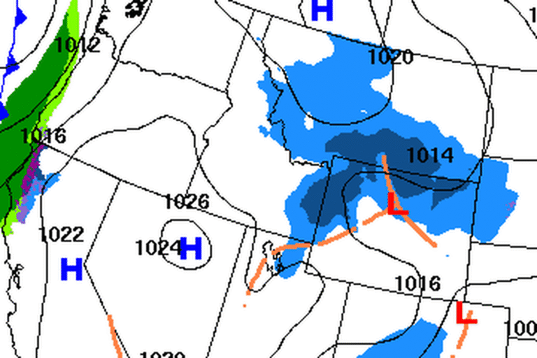
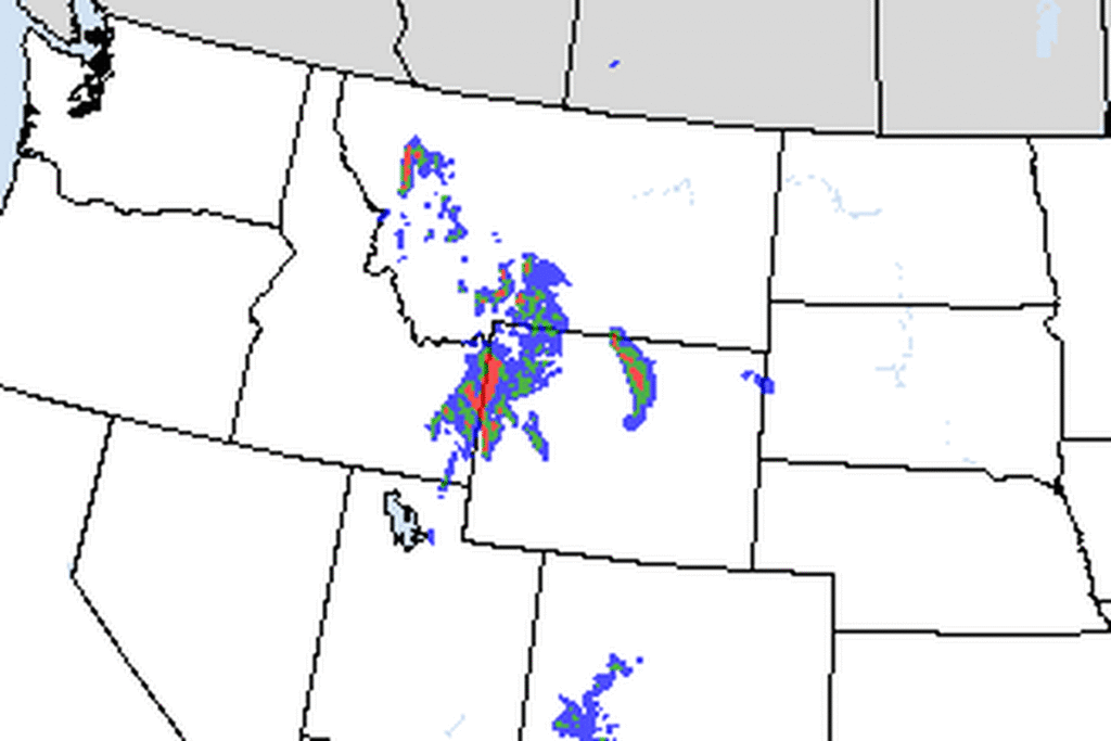
In their Friday afternoon discussion, forecasters said the heaviest snow was focused on the southern half of eastern Idaho, with lighter, scattered showers farther north. They expected the focus to shift to the eastern highlands overnight, with the best chance of accumulating snow along and east of Interstate 15. They also trimmed the overall snow forecast slightly.
Feast or famine in the valleys
Winter Weather Advisories cover much of the rest of eastern Idaho until 5 a.m. Saturday, including the Upper and Lower Snake River Plain, Teton Valley, Island Park, the Caribou Range and the Franklin and eastern Oneida County area, with up to 11 more inches of snow and gusts up to 35 mph. The office says the snow will affect the Friday evening commute.
Forecasters warned that snow in the lower parts of the advisory area could be “feast or famine.” Some places may get very little, while others could get more than forecast. Snow levels are hovering near the valley floors with temperatures near freezing, which makes rain or snow a close call.
Wind tonight, quieter Saturday
As the snow moves east, winds pick up across the Snake River Plain, with gusts of 25 to 30 mph common overnight. Winds ease late tonight into early Saturday but stay locally breezy through the day. Light snow showers continue over the eastern highlands on Saturday, but the office says most of the accumulating snow will be over by then.
More storms next week
A brief ridge of high pressure is expected late Saturday into Sunday. The next Pacific system could bring showers to the higher elevations as early as Sunday afternoon and through Monday, and another is expected by Wednesday, mainly in the mountains.
To the south, the Weather Service in Salt Lake City has a Winter Storm Warning for Utah’s Wasatch Mountains until 11 a.m. Saturday.
Cities affected
- Driggs, Idaho
- Victor, Idaho
- Swan Valley, Idaho
- Preston, Idaho
- Idaho Falls, Idaho
- Pocatello, Idaho.
What to do
- Check 511.idaho.gov or call 511 before heading over mountain passes.
- If you must travel, keep a flashlight, food and water in your vehicle.
- Slow down on the Snake River Plain tonight, where snow and gusty winds could make roads slick and cut visibility.
- Watch for fallen branches on mountain roads.
Lodi Valley Chronicle publishes a new U.S. weather briefing every morning.