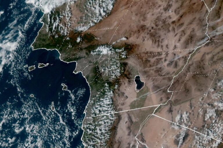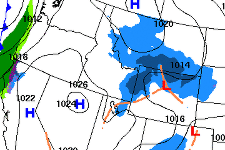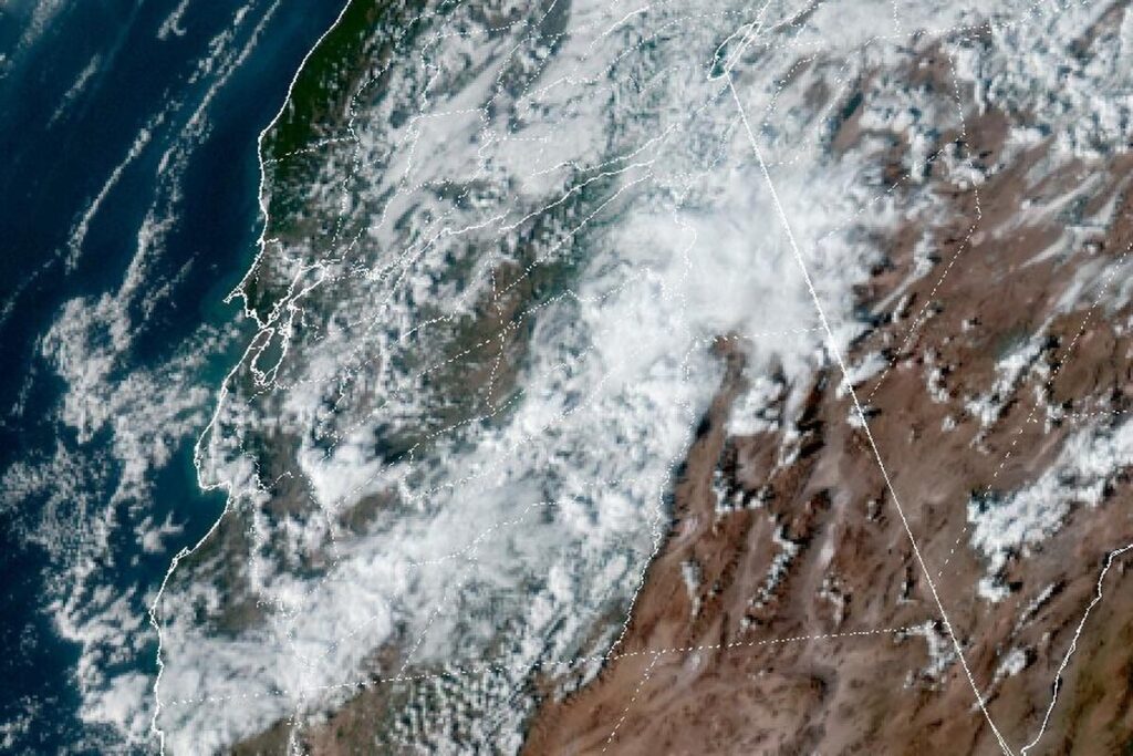
SAN FRANCISCO — The National Weather Service in San Francisco issued a Coastal Flood Warning at 2:52 p.m. Friday for San Francisco and the shores of San Francisco Bay and San Pablo Bay. It runs from 6 a.m. Monday to 4 p.m. Thursday, Thanksgiving Day. Forecasters say significant coastal flooding is possible, with up to 3 feet of water above ground level in low-lying areas near the shoreline and tidal waterways.
Until the warning begins, the Coastal Flood Advisory that has covered the bay shores since Thursday stays in effect. It was due to end at 11 a.m. Saturday and now runs until 6 a.m. Monday, with up to 2.1 feet of water possible in the same low spots.
The tides, day by day
The tides build all week. At the San Francisco tide gauge, the office forecasts high tide at 7.3 feet, 1.5 feet above normal, at 8:15 a.m. Saturday, and at 7.9 feet, 2.1 feet above normal, at 8:48 a.m. Sunday. During the warning, high tide is forecast at 8.1 feet at 9:25 a.m. Monday, 8.7 feet at 10:05 a.m. Tuesday and 8.8 feet, 3 feet above normal, at 10:49 a.m. Wednesday, before easing to 8.4 feet at 11:38 a.m. Thursday.
Those heights are measured from mean lower low water, the usual tide-table baseline, and include up to 1.8 feet of storm surge on top of the normal tide. High tide comes up to 90 minutes earlier along the Pacific coast and up to 90 minutes later in the far reaches of the bay.
What to expect
The office expects high tides to flood low-lying roads and infrastructure, with numerous road closures and coastal erosion. Rising tides will also push water and waves farther up beaches than normal, which can cut off the way back from beaches and coastal areas.
In their afternoon discussion, forecasters said 2 to 3 feet of flooding is possible at the peak of the tide cycle, Nov. 24 to 26, and perhaps for a couple of days on either side, and that storm surge and rain runoff could make it worse. “Now is the time to prepare vulnerable properties,” they wrote.
Pacific coast and Monterey Bay added
The advisory now reaches the outer coast, too. From 4 a.m. Saturday to 4 p.m. Thursday, it covers the coastal North Bay including Point Reyes National Seashore, the San Francisco Peninsula coast, and Monterey Bay south along the Big Sur coast, with up to 3 feet of water possible in low spots and isolated road closures.
Rain this weekend, a stronger storm Tuesday
Rain returns this weekend, reaching the North Bay on Saturday afternoon and the rest of the Bay Area on Saturday evening. Totals should be light, 0.1 to 0.5 inch, with the most along the Sonoma coast. Monday should be mostly dry, and the office suggests using it to clear storm drains and gutters and stock emergency kits.
A stronger storm Tuesday into Wednesday is expected to bring widespread rain and gusts of 40 to 50 mph along the coast and through gaps and passes. It arrives with the highest tides of the cycle, when runoff could worsen the flooding, and as Thanksgiving travel picks up.
Before then, a Cold Weather Advisory runs from 1 to 8 a.m. Saturday for the inland North Bay, the interior East Bay and other inland valleys and hills, with lows in the low to mid 30s. Clouds moving in overnight could keep some valleys warmer.
Cities affected
- San Francisco
- Oakland, Calif.
- Alameda, Calif.
- San Rafael, Calif.
- Redwood City, Calif.
What to do
- Move cars and valuables away from low spots near the bay before the late-morning high tides Monday through Thursday.
- Use Monday’s dry weather to clear storm drains and gutters.
- Never drive around barricades or through water of unknown depth.
- Allow extra time for trips along the shoreline around high tide, especially for Thanksgiving travel.
- Stay off jetties and away from the water’s edge at ocean beaches.
Lodi Valley Chronicle publishes a new U.S. weather briefing every morning.