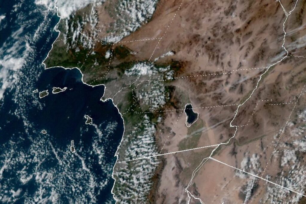
LOS ANGELES — The National Weather Service in Los Angeles issued a Coastal Flood Watch at 12:14 p.m. Friday for the Malibu coast, the beaches of Los Angeles and Ventura counties, and the beaches of San Luis Obispo County and Santa Barbara County’s Central Coast. It runs from late Tuesday night through Thursday afternoon, Thanksgiving Day. Forecasters say significant coastal flooding is possible, with a moderate risk of damaging seawater flooding over beaches, roads and structures in vulnerable low-lying areas, especially around high tide.
Before the watch, a Coastal Flood Advisory runs from 3 a.m. Monday to 3 a.m. Wednesday for the same beaches, with moderate coastal flooding expected. The advisory also covers the southern Santa Barbara County coast and Catalina and Santa Barbara islands through 3 p.m. Thursday, with flooding possible over beach parking lots, bike paths and harbor walkways.
Where the water could go
The office expects the biggest impacts on west-facing beaches, including from Santa Monica to Palos Verdes, and says the Long Beach and Naples area will be susceptible to very high water levels. In Ventura County, the most exposed beaches run from Faria Beach to Silverstrand Beach. On the Central Coast, the office points to Morro Bay, Pismo Beach and Oceano Dunes, along with the Cayucos, Pismo and Avila piers. Significant beach erosion is possible.
Orange County and San Diego
The Weather Service in San Diego has a Coastal Flood Watch for the coasts of Orange and San Diego counties from 4 a.m. Tuesday through Thursday afternoon, after a Coastal Flood Advisory from 4 a.m. Sunday to 4 a.m. Tuesday. It says numerous roads may close and low-lying homes, businesses and some critical infrastructure may be flooded.
Morning high tides there will top 7 feet by Sunday and reach 7.9 to 8.2 feet each morning from Tuesday through Thursday, peaking Wednesday. The office raised those tide forecasts above the normal astronomical predictions because of recent observed trends. Surf of 3 to 5 feet rides on top of the tides through Wednesday, and a new swell could bring notably higher surf starting Thursday.
Wednesday and Thursday
Both offices expect the highest risk on Wednesday and Thursday. The Los Angeles office says high surf will likely continue for much of next week and that more alerts will likely be needed into Friday. Rip currents can pull swimmers and surfers out to sea, and waves can wash people off beaches and rocks and capsize small boats near shore.
Up the coast
The same tide cycle is behind a Coastal Flood Warning from the Weather Service in San Francisco for San Francisco Bay and San Pablo Bay, from 6 a.m. Monday to 4 p.m. Thursday, with up to 3 feet of water possible in low-lying areas.
Cities affected
- Santa Monica, Calif.
- Malibu, Calif.
- Long Beach, Calif.
- Oxnard, Calif.
- Pismo Beach, Calif.
- San Diego.
What to do
- Move cars and other property away from low-lying beach areas before the midweek high tides.
- Plan extra travel time near the coast, since some roads may close.
- Stay out of the water, or stay near occupied lifeguard towers, and keep off rock jetties.
- Never drive around barricades or through water of unknown depth.
Lodi Valley Chronicle publishes a new U.S. weather briefing every morning.