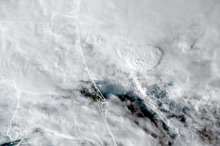
PALM COAST, Fla. — The National Weather Service in Jacksonville has a Coastal Flood Warning for Flagler County and eastern Putnam County until 7 a.m. Sunday. The office expects significant coastal flooding: numerous roads may close, and low-lying homes, businesses and some critical infrastructure will be flooded. Some shoreline erosion will occur.
At 12:37 p.m. Friday, the office extended the warning to coastal and inland Flagler County, home to Palm Coast, Flagler Beach and Bunnell. In eastern Putnam County, it covers the St. Johns River from Racy Point, north of Palatka, south to Lake George.
The St. Johns keeps rising
On the river, the office forecasts moderate to locally major tidal flooding in Putnam County. Onshore winds are pushing ocean water into the river, while rain runoff and water flowing down from the upper St. Johns add to it. Forecasters say parts of the middle St. Johns north of Lake George could approach major flood stage late this weekend, about 3 feet above normally dry ground.
Farther north, a Coastal Flood Advisory covers other parts of the river, where high tides are expected to reach at least minor flood levels, generally 1.5 to 2 feet above normally dry ground, through the weekend and possibly into next week.
More rain on soaked ground
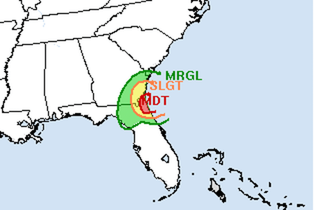
A Flood Watch covers Nassau, Duval, St. Johns, Flagler, Clay and Putnam counties through Saturday afternoon. Forecasters expect 2 to 4 more inches of rain through Friday night, with 4 to 8 inches in a reasonable worst case, on ground already soaked by 5 to 12 inches over the past few days. The flooding will be worst near tidal areas around high tide. The Weather Prediction Center has a moderate risk of flash flooding along the northeast Florida coast through Saturday morning.
Wind, surf and rip currents
A Wind Advisory runs until 7 a.m. Saturday along the coast. Gusts of 40 to 45 mph Friday evening could topple trees in the soggy ground and cause scattered power outages. A High Surf Advisory for Flagler’s beaches calls for breaking waves of 8 to 10 feet until 7 a.m. Sunday, and the risk of rip currents is high through Sunday morning.
The low moves north Saturday
The low-pressure system behind the rain lifts from northeast Florida into southeast Georgia on Saturday, and the risk of flooding rain shifts north with it to coastal southeast Georgia. Showers linger around northeast Florida, with highs in the mid-60s to mid-70s.
Just to the south, the Weather Service in Melbourne has a Flood Warning for northern Brevard and eastern Volusia counties until 8 a.m. Saturday.
Cities affected
- Palm Coast, Fla.
- Flagler Beach, Fla.
- Bunnell, Fla.
- Palatka, Fla.
What to do
- Move cars and valuables to higher ground before high tide, especially along the St. Johns River.
- Never drive around barricades or through water of unknown depth.
- Stay out of the ocean. If caught in a rip current, relax and float, and swim parallel to the shore.
- Watch for downed trees and power lines on saturated ground.
Lodi Valley Chronicle publishes a new U.S. weather briefing every morning.