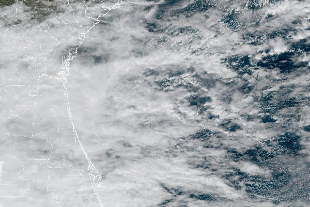
JACKSONVILLE BEACH, Fla. — The National Weather Service in Jacksonville extended its High Surf Advisory for the beaches of northeast Florida and southeast Georgia on Tuesday afternoon. It now runs through 7 p.m. Friday, more than a day longer than first planned. Large breaking waves of 7 to 10 feet are expected. The advisory covers the coasts of Nassau, Duval, St. Johns and Flagler counties in Florida and Glynn and Camden counties in Georgia.
A high risk of rip currents continues at every beach in the area through Friday evening.
Why the surf is up
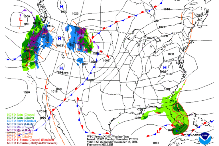
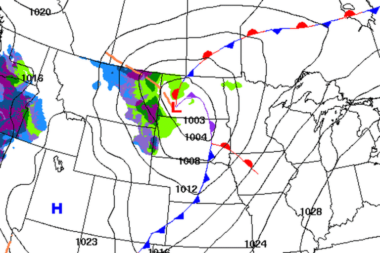
Strong high pressure to the north is pushing a ridge south over the area, keeping a steady onshore wind going through the week. At the same time, a weakening disturbance is stalled over the eastern Gulf. Along the east-central Florida coast, the Melbourne office expects the squeeze between the two to drive east winds of 15 to 25 mph each day, with gusts up to 35 mph and occasionally 40 mph along the coast.
Offshore, Small Craft Advisories run until 7 p.m. Friday for the waters off northeast Florida and southeast Georgia. Forecasters expect the high rip current risk to last at least several more days.
Erosion from Daytona Beach to Stuart
The Weather Service in Melbourne extended its High Surf Advisory for the coasts of Volusia, Brevard, Indian River, St. Lucie and Martin counties until 7 a.m. Friday. Breaking waves of 5 to 11 feet are expected there. Forecasters describe rough, pounding surf with the potential for moderate to locally major beach erosion, and numerous strong, life-threatening rip currents.
Even bigger waves in Palm Beach and Broward
Farther south, the Weather Service in Miami expects breaking waves of 7 to 12 feet on the Palm Beach and Broward coasts until 7 p.m. Thursday, with dangerous rip currents from Palm Beach to Miami-Dade.
Heavy rain on top of it
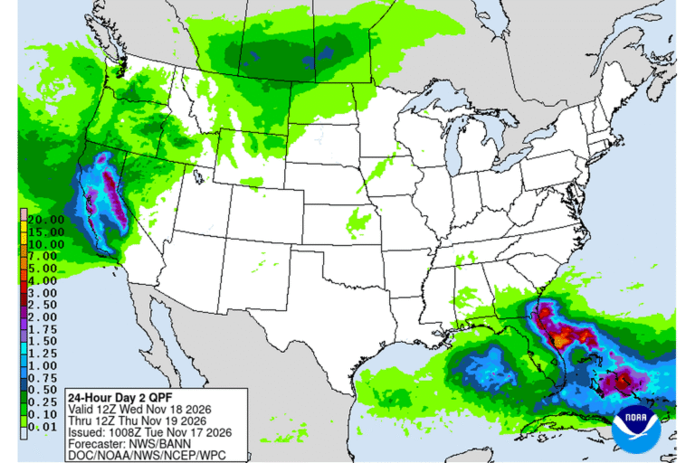
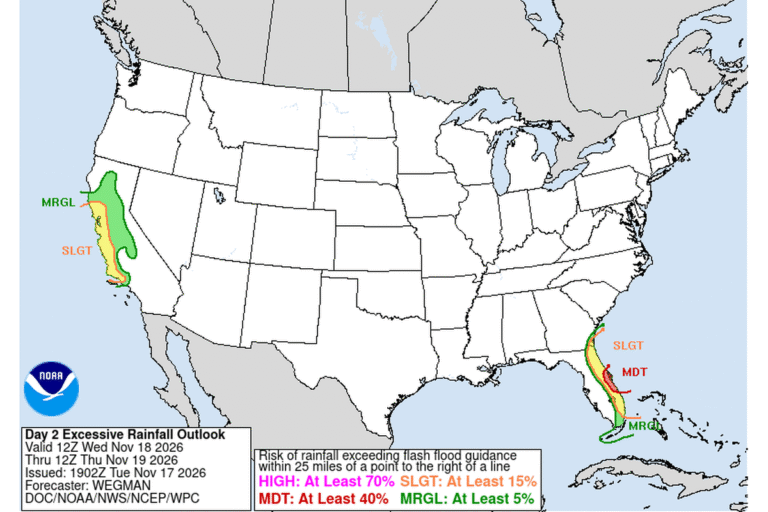
Bands of heavy rain are coming onshore with the wind. Jacksonville’s office expanded its Flood Watch on Tuesday to Duval, Clay and Putnam counties, joining St. Johns and Flagler, through Friday evening. It calls for 3 to 8 inches of rain through Friday night, with up to 12 inches or more in spots. Flood Watches also cover east-central and southeast Florida, and the Weather Prediction Center puts much of the east-central Florida coast at a Moderate Risk, level 3 of 4, for excessive rainfall on Wednesday.
Cities affected
- Jacksonville Beach, Fla.
- St. Augustine, Fla.
- Fernandina Beach, Fla.
- Flagler Beach, Fla.
- St. Simons Island, Ga.
- Daytona Beach, Fla.
What to do
- Stay out of the water. Rip currents can pull even strong swimmers away from shore.
- If a rip current catches you, don’t fight it. Swim parallel to the shore, or float and wave for help.
- Stay off piers, jetties and rock walls where waves are breaking.
- Keep back from eroded dunes and seawalls, which can collapse.
- Move beach gear, boats and trailers away from the water as soon as you can.
Lodi Valley Chronicle publishes a new U.S. weather briefing every morning.