ARLINGTON, Wyo. — The National Weather Service in Cheyenne upgraded its High Wind Watch for southeast Wyoming to a High Wind Warning early Tuesday. In the North Snowy Range foothills, including Arlington and Elk Mountain along Interstate 80, the warning took effect at 6:37 p.m. Tuesday, ahead of its planned 8 p.m. start, and runs until 5 p.m. Wednesday. Southwest to west winds of 35 to 45 mph are expected there, with gusts up to 75 mph. Monday’s watch called for gusts up to 70 mph.
The Interstate 80 summit and Interstate 25
The warning also covers the South Laramie Range and its foothills, including the Interstate 80 summit between Cheyenne and Laramie, the Bordeaux area along Interstate 25 between Chugwater and Wheatland, and East Platte County. There, it runs from 2 a.m. to 5 p.m. Wednesday, with west winds of 35 to 45 mph and gusts up to 75 mph. In the Ferris, Seminoe and Shirley mountains, the warning runs from 8 p.m. Tuesday to 2 p.m. Wednesday. Sustained winds there are now forecast at 35 to 45 mph, up from 30 to 40 mph, with gusts up to 70 mph.
Forecasters say the strong crosswinds will be hazardous to lightweight and high-profile vehicles, including campers and tractor-trailers.
Strongest Wednesday morning
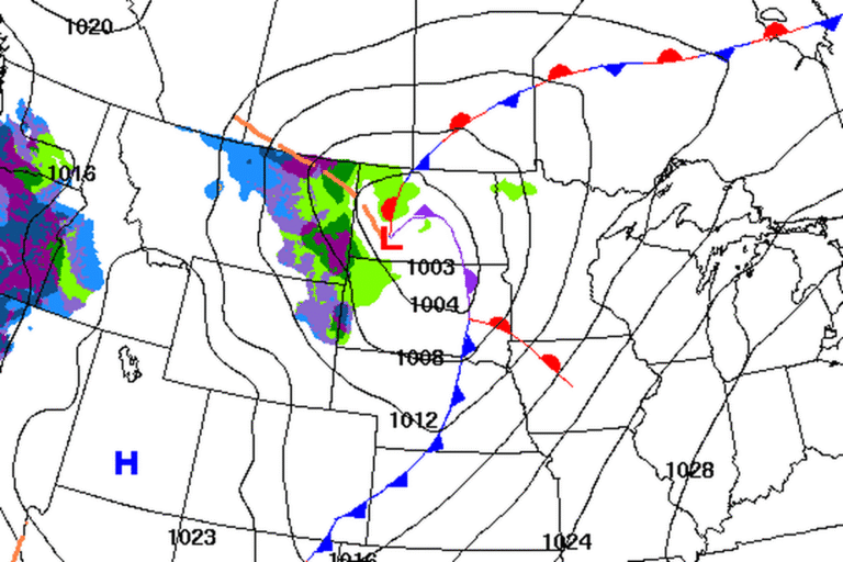
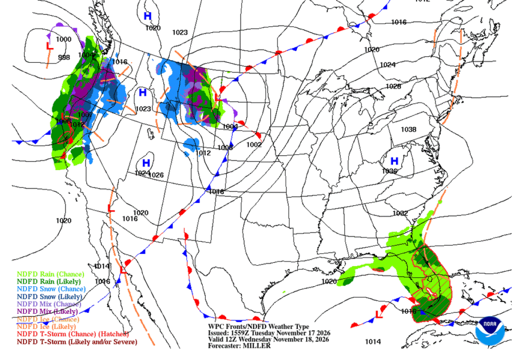
The office calls this the first notable high wind event of the season. Winds strengthen quickly behind a cold front Tuesday night. The strongest winds are expected from early Wednesday morning into early afternoon, with gusts of 60 to 75 mph in the usual wind-prone spots along Interstates 80 and 25 and up to 65 mph nearby. The wind eases Wednesday afternoon.
Cheyenne and Casper
Late Tuesday morning, the Cheyenne office expanded the warning to central Laramie County, including Cheyenne, where gusts up to 65 mph, up from 60 mph earlier, are possible from 2 a.m. to 5 p.m. Wednesday. It also added the North Laramie Range, with gusts up to 75 mph from midnight to 2 p.m. Wednesday, and the lower elevations of Converse County, including Douglas, where gusts up to 65 mph are possible from 2 a.m. to 2 p.m. A High Wind Watch covers the Laramie Valley and Shirley Basin from Wednesday morning into the afternoon, with gusts up to 60 mph possible.
In central Wyoming, the Weather Service in Riverton has a High Wind Warning for Casper Mountain and the lower elevations of Natrona County from 9 p.m. Tuesday to 2 p.m. Wednesday. Gusts of 50 to 60 mph are expected, with 60 to 70 mph on the south side of Casper toward Casper Mountain. The warning also covers the Green Mountains and Rattlesnake Range.
A warning in Colorado’s foothills, too
In Colorado, the Weather Service office for Denver and Boulder upgraded its watch to a High Wind Warning for Rocky Mountain National Park, the Medicine Bow Range and the Larimer and Boulder county foothills between 6,000 and 9,000 feet, from 11 p.m. Tuesday to 11 a.m. Wednesday. Gusts of 70 to 75 mph are possible, up from 60 mph in Monday’s watch. Damaging winds could blow down trees and power lines, and power outages are possible.
Quick rain and snow showers are expected in Carbon and western Albany counties Tuesday night, with more mountain snow possible Friday.
Cities affected
- Arlington, Wyo.
- Elk Mountain, Wyo.
- Wheatland, Wyo.
- Cheyenne, Wyo.
- Casper, Wyo.
- Estes Park, Colo.
What to do
- If you drive an empty truck, camper or trailer, avoid Interstate 80 near Arlington and Elk Mountain and over the summit between Cheyenne and Laramie until the wind eases Wednesday evening.
- Check the Wyoming Department of Transportation for closures and wind restrictions before you go.
- Secure trash cans, decorations and other loose objects.
- Don’t burn trash or brush on Wednesday. Dry, gusty air raises the fire danger from southeast Wyoming to Denver.
Lodi Valley Chronicle publishes a new U.S. weather briefing every morning.