ORINDA, Calif. — The National Weather Service office for the San Francisco Bay Area has a High Wind Warning for the East Bay Hills from 9 p.m. Tuesday to 1 p.m. Wednesday. South winds of 25 to 35 mph are expected, with gusts up to 70 mph. The strongest winds are expected in the Altamont Pass, where Interstate 580 crosses the hills between the Bay Area and the Central Valley.
What the wind could do
Forecasters say damaging winds could bring down trees, snap power lines and damage property, and widespread power outages are possible. Travel could be extremely difficult and hazardous, especially for high-profile vehicles such as trucks, vans and trailers.
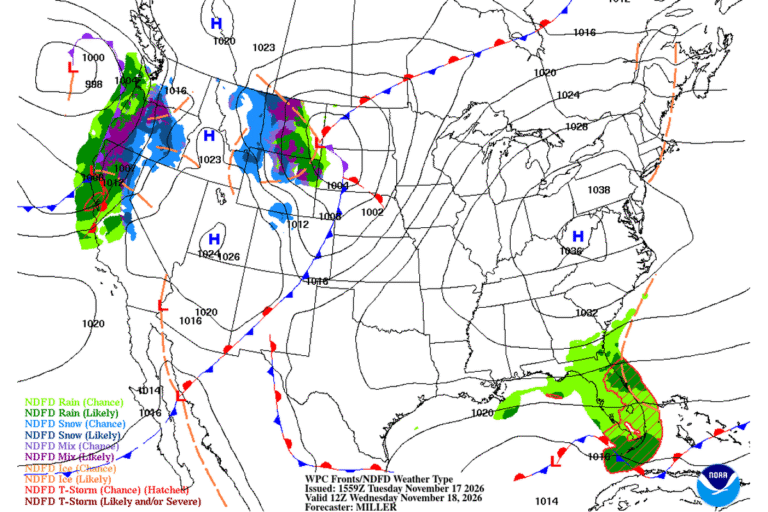
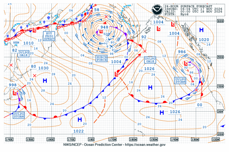
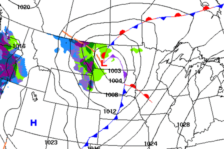
The winds pick up Tuesday evening ahead of the storm’s main front, which reaches the North Bay coast late Tuesday night.
San Francisco and the coast
A Wind Advisory runs for the same hours in San Francisco, the coastal North Bay including Point Reyes National Seashore, the San Francisco Peninsula coast, Monterey Bay and the Big Sur coast. It also covers the East Bay interior valleys. South to southwest winds of 20 to 30 mph are expected there, with gusts up to 50 mph. That is strong enough to blow around unsecured objects, bring down tree limbs and cause a few power outages.
A wet Wednesday commute
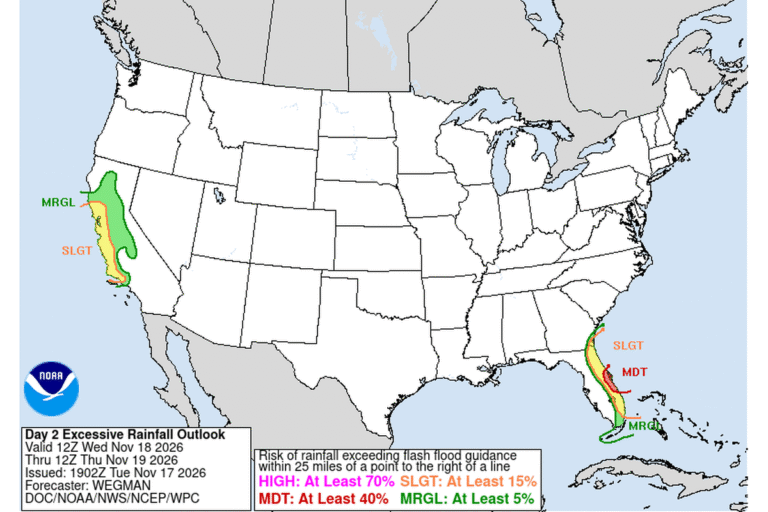
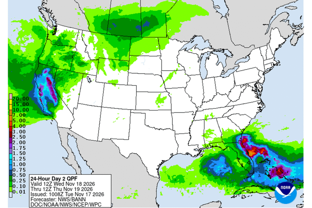
The Weather Service says the Wednesday morning commute will be messy, with wind-driven moderate to heavy rain at times. Forecasters expect 1.5 to 2.5 inches of rain across most of the Bay Area and Central Coast, 1 to 2 inches in valleys shielded by the hills, 2 to 3.5 inches in the North Bay and 3 to 5 inches in the Santa Cruz Mountains and the Santa Lucia Range. Minor flooding is possible, especially under thunderstorms.
Thunderstorms, and a chance of waterspouts
Isolated to scattered thunderstorms could form along the front on Wednesday and again Wednesday night into Thursday, when the storm’s cold core moves overhead. The office says cold air aloft over warmer-than-normal ocean water could produce waterspouts or an isolated tornado Thursday morning into early afternoon.
Along the coast, hazardous beach conditions are expected through at least Thursday night. Inland, the Weather Service in Sacramento extended its Wind Advisory for the Sacramento Valley, the northern San Joaquin Valley, the Delta and the foothills to 10 p.m. Wednesday and raised the gusts to 55 mph, with the strongest winds Wednesday morning and afternoon. Cooler-than-normal temperatures follow through the weekend.
Cities affected
- Oakland, Calif.
- Orinda, Calif.
- Livermore, Calif.
- San Francisco
- Walnut Creek, Calif.
- Monterey, Calif.
What to do
- Bring in or tie down patio furniture, trash cans and other loose objects before Tuesday night.
- Don’t park or walk under trees during the strongest gusts.
- Use extra caution in high-profile vehicles, especially on Interstate 580 through the Altamont Pass.
- Charge phones and keep flashlights handy in case the power goes out.
- Allow extra time for Wednesday’s commute, and never drive through flooded roads.
Lodi Valley Chronicle publishes a new U.S. weather briefing every morning.