RAPID CITY, S.D. — The National Weather Service in Rapid City has issued a High Wind Warning for the Black Hills and the foothills around them, including Rapid City, from 2 a.m. to 9 a.m. Wednesday. Southwest winds of 30 to 40 mph are expected, with gusts up to 60 mph, especially on the higher peaks and on the eastern and northeastern slopes of the Black Hills.
The warning covers the northern, central and southern Black Hills, including Lead, Deadwood, Hill City, Keystone and Custer, and the foothills around Spearfish, Sturgis, Piedmont, Hermosa and Hot Springs.
What the wind could do
Forecasters say the wind could damage roofs, small outbuildings and signs, and power outages are possible. Travel could be difficult, especially for high-profile vehicles, and blowing dust could cut visibility.
Strongest on the east side of the hills
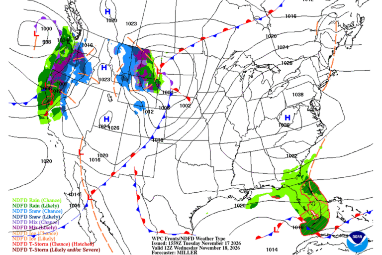
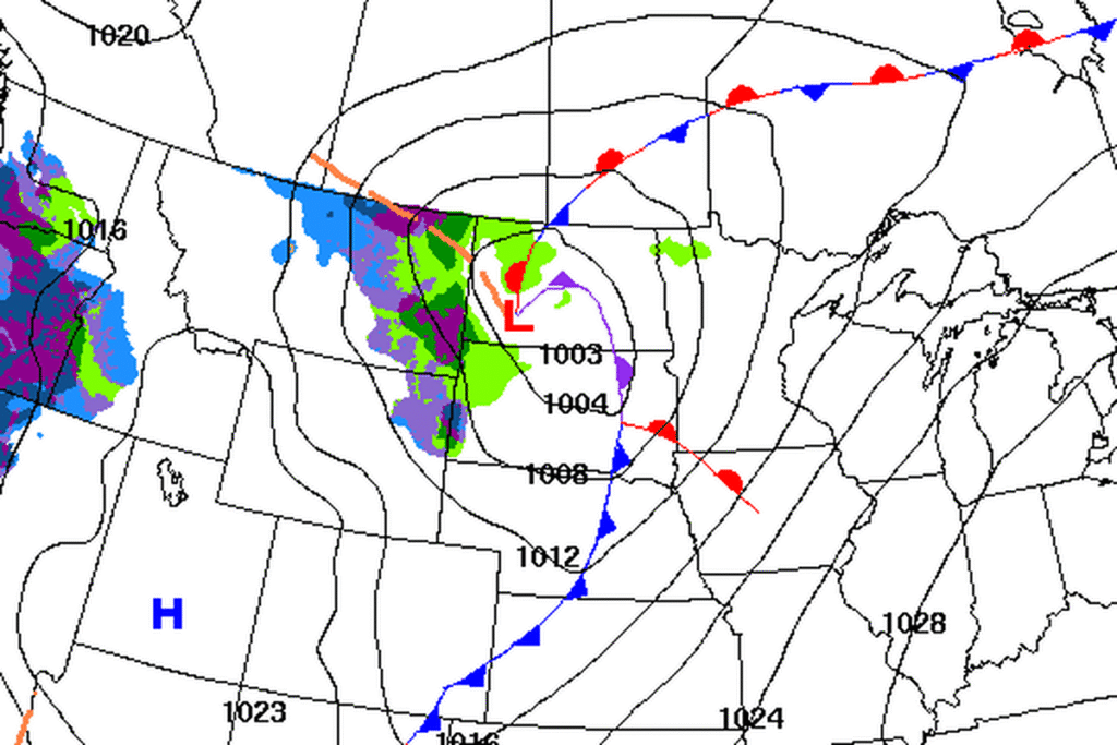
The Rapid City office says a fast-moving disturbance over the Four Corners will race northeast tonight and wind up into a compact low over North Dakota on Wednesday. Ahead of the low’s cold front, a tight pressure gradient and strong winds a few thousand feet up should bring the strongest gusts to the eastern and northeastern slopes of the Black Hills. A high-resolution forecast ensemble gives the higher Black Hills a 60% to 90% chance of gusts above 55 mph.
South winds pick up over northeastern Wyoming and the Black Hills after about 11 p.m. Tuesday. A cold front then turns the wind to the west and northwest between about 8 and 10 a.m. Wednesday.
Then the plains
Behind the front, the strongest winds shift to the open plains. A second High Wind Warning covers Harding and Butte counties, including Buffalo and Belle Fourche, along with the northern Meade County plains and southern Perkins County, from 11 a.m. to 9 p.m. Wednesday. West winds of 30 to 40 mph are expected there, with gusts up to 60 mph. Another High Wind Warning covers Fall River County outside the Hot Springs area, including Edgemont, and Oglala Lakota County, including Pine Ridge, from noon to 9 p.m., with gusts up to 60 mph.
Rapid City itself should miss the strongest afternoon winds, the office says. A Wind Advisory covers the plains east of the Black Hills, including Box Elder, Philip and Kadoka, from noon to 9 p.m., with gusts up to 50 mph.
In North Dakota, the Weather Service in Bismarck has a High Wind Warning for Bowman County from 11 a.m. to 11 p.m. Wednesday, with gusts up to 60 mph, and a Wind Advisory for much of southwest and south-central North Dakota, including Dickinson and Mandan.
Fire danger on the grasslands
The Rapid City office expects elevated fire danger over southern South Dakota on Wednesday behind the cold front, with gusts of 40 to 60 mph and humidity falling to 25% to 40%. It says grassland fire danger will be very high on the western South Dakota plains Wednesday afternoon.
Another cold front Friday brings more gusty winds and colder weather for the weekend.
Cities affected
- Rapid City, S.D.
- Spearfish, S.D.
- Sturgis, S.D.
- Deadwood, S.D.
- Custer, S.D.
- Hot Springs, S.D.
- Belle Fourche, S.D.
- Pine Ridge, S.D.
What to do
- Bring in or tie down trash cans, patio furniture, holiday decorations and anything else the wind could pick up tonight.
- If you drive a camper, trailer or empty truck, wait until the wind eases Wednesday morning to cross the Black Hills or drive Interstate 90 between Spearfish and Rapid City, and check sd511.org for road conditions.
- Charge your phone and keep a flashlight handy in case the power goes out.
- Don’t burn trash or brush on Wednesday. Strong wind can spread a grass fire quickly.
Lodi Valley Chronicle publishes a new U.S. weather briefing every morning.