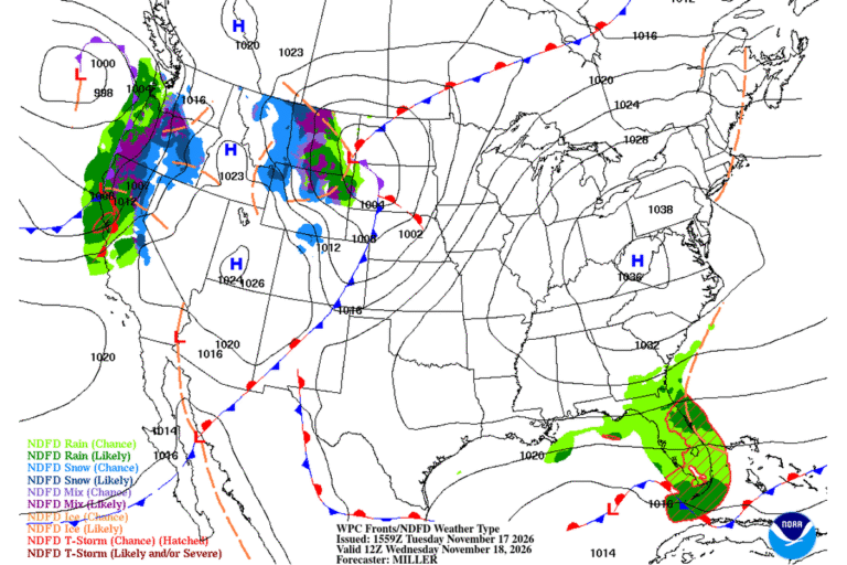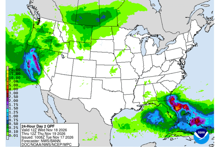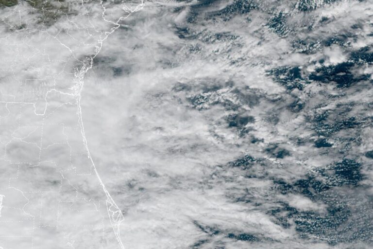
FORT LAUDERDALE, Fla. — The National Weather Service in Miami expanded its Flood Watch on Tuesday morning to cover all of southeast Florida. It now includes Broward and Miami-Dade counties and inland Palm Beach County, from 1 p.m. Tuesday through 7 p.m. Thursday. Several rounds of storms could bring 2 to 4 inches of rain through late Thursday, with 6 to 8 inches possible and isolated totals over 10 inches.
Why the east coast
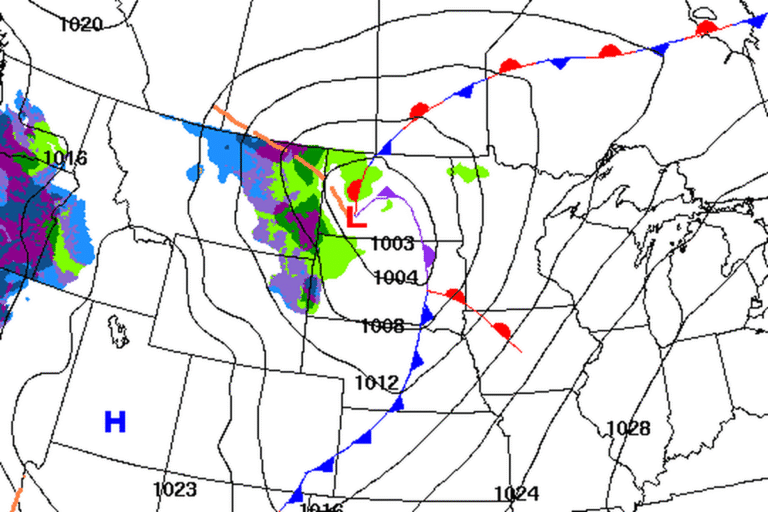
A weak area of low pressure in the Gulf and a stalled front over central Florida are pulling unusually moist air across the peninsula. Breezy onshore winds near the ground and strong westerly winds higher up squeeze that air upward along the immediate east coast. Forecasters say that could bring repeated rounds of heavy rain to the same neighborhoods.
The office cautions that the exact spots are hard to pin down. Its most likely totals are 2 to 4 inches through Friday along the east coast, with a reasonable worst case of 6 to 10 inches.
Flooding where drains can’t keep up
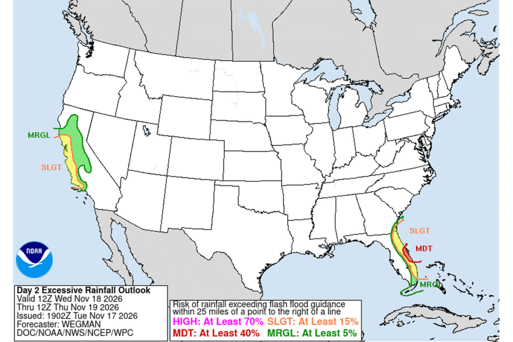
Rain could fall at 1 to 2 inches an hour in some storms. The Weather Service says runoff could flood creeks, canals, low-lying spots and poor-drainage urban areas, and impactful flash flooding is possible if storms repeat over the same area. The Weather Prediction Center has the region at a Slight Risk, level 2 of 4, for excessive rainfall on Tuesday and Wednesday.
Dangerous surf and rip currents
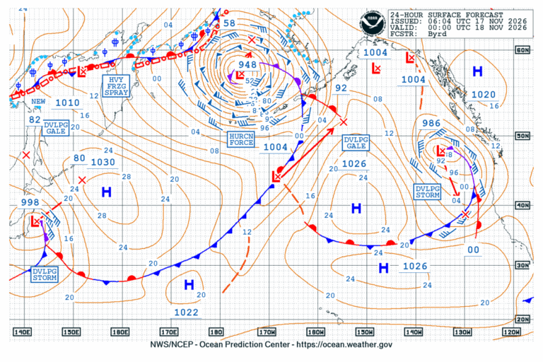
East-northeast winds could gust to 30 mph near the coast, and Atlantic seas are building to 10 to 12 feet. A High Surf Advisory for the Palm Beach and Broward coasts runs until 7 p.m. Thursday, with breaking waves of 7 to 12 feet. Forecasters warn of life-threatening rip currents at Miami-Dade, Broward and Palm Beach beaches through the rest of the week.
Wet up the coast, too
Farther north, the Weather Prediction Center has a Moderate Risk, level 3 of 4, for excessive rainfall along parts of the northeast and east-central Florida coast from Wednesday through Friday. Flood Watches cover east-central Florida and, since Tuesday afternoon, all of Duval County, including Jacksonville, along with Clay, Putnam, St. Johns and Flagler counties, through Friday evening. Four to 6 inches of rain is forecast in east-central Florida, with 8 to 12 inches possible closer to the coast. The St. Johns River remains in major flood near Cocoa, where it was at 17.1 feet Tuesday morning.
Cities affected
- Miami
- Fort Lauderdale, Fla.
- West Palm Beach, Fla.
- Boca Raton, Fla.
- Hollywood, Fla.
- Homestead, Fla.
What to do
- Never drive through flooded roads. Turn around and find another way.
- Watch for Flash Flood Warnings and be ready to move to higher ground.
- If it’s safe, clear leaves and trash from storm drains near your home before the heaviest rain.
- Stay out of the ocean while the surf is high, and swim only where lifeguards are on duty.
- Allow extra time for commutes on Wednesday and Thursday.
Lodi Valley Chronicle publishes a new U.S. weather briefing every morning.