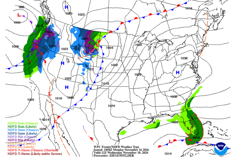
LARAMIE, Wyo. — The National Weather Service in Cheyenne has issued a High Wind Watch for parts of southeast Wyoming from Tuesday evening through Wednesday evening. Southwest winds of 35 to 45 mph with gusts up to 70 mph are possible in the North Snowy Range foothills, including Arlington and Elk Mountain along Interstate 80, and in the Ferris, Seminoe and Shirley mountains.
The Laramie Range and Interstate 25
From late Tuesday night through Wednesday evening, west winds of 35 to 45 mph with gusts up to 65 mph are possible over the South Laramie Range and its foothills. That includes the Interstate 80 summit between Cheyenne and Laramie, the Bordeaux area along Interstate 25 between Chugwater and Wheatland, and East Platte County.
In Laramie, the forecast calls for south-southwest winds of 10 to 25 mph Tuesday night, with gusts to 40 mph. On Wednesday, west-southwest winds of 25 to 35 mph could gust to 55 mph under sunny skies, with a high near 43.
Trouble for campers and big rigs
The Weather Service says the main threat is to travel. Strong crosswinds will be dangerous for light or high-profile vehicles, including campers and tractor-trailers. Gusts like these can push an empty trailer out of its lane or tip it over.
The Colorado foothills
The Weather Service office for Denver and Boulder has its own High Wind Watch for the northern Front Range foothills. It covers Larimer and Boulder counties between 6,000 and 9,000 feet, from late Tuesday night through Wednesday afternoon. West winds of 20 to 30 mph with gusts up to 60 mph are possible. Forecasters say damaging winds could blow down trees and power lines, and widespread power outages are possible. Travel could be difficult there, too, especially for high-profile vehicles.
What a watch means
A High Wind Watch means a dangerous wind event is possible. Sustained winds of at least 40 mph or gusts of 58 mph or more may occur. If the forecast firms up, the Weather Service may upgrade the watch to a High Wind Warning, so check for updates before you travel.
Calmer by Wednesday night
Tuesday should be quiet in Laramie, with mostly sunny skies and a high near 57. The wind ramps up Tuesday night and peaks on Wednesday. After the watch ends Wednesday evening, Laramie’s forecast turns mostly clear and colder, with a low around 25.
Cities affected
- Laramie, Wyo.
- Cheyenne, Wyo.
- Arlington, Wyo.
- Elk Mountain, Wyo.
- Chugwater, Wyo.
- Wheatland, Wyo.
What to do
- If you’re towing a camper or driving an empty truck, consider waiting until the wind eases Wednesday night.
- Check Wyoming Department of Transportation road reports before crossing I-80 or I-25.
- Secure trash cans, trampolines and holiday decorations.
- In the Colorado foothills, charge phones and have flashlights ready in case the power goes out.
Lodi Valley Chronicle publishes a new U.S. weather briefing every morning.