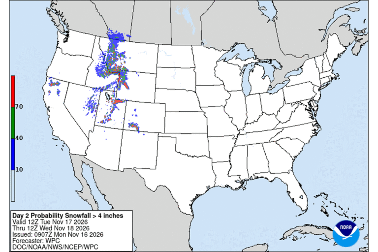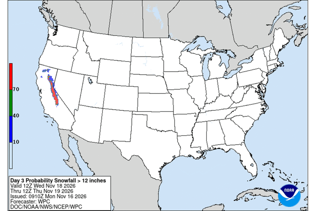
TRUCKEE, Calif. — The National Weather Service in Reno upgraded its Winter Storm Watch for the Sierra Nevada to a Winter Storm Warning on Monday morning. The warning runs from 4 a.m. Wednesday to 4 a.m. Friday for the Lake Tahoe area, Mono County, and Lassen, eastern Plumas and eastern Sierra counties. Above 7,000 feet around Lake Tahoe, forecasters expect 2 to 4 feet of snow, with 1 to 2 feet at lake level.
A colder, stronger storm
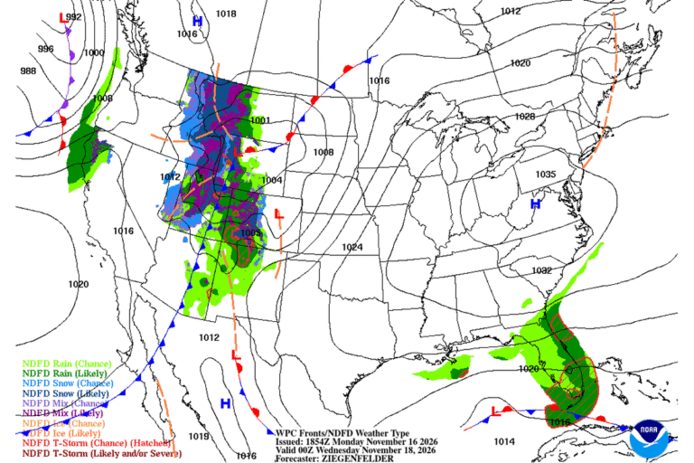
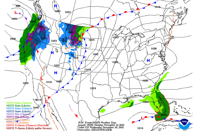
Monday’s snow was the opening act. The Weather Service in Sacramento says Tuesday brings a lull before a colder, stronger storm arrives by midweek. Snow levels drop to 3,500 to 4,500 feet Tuesday night, then rise to about 4,500 to 5,500 feet on Wednesday. The heaviest snow is expected Wednesday morning into the afternoon, when it could fall at 1 to 2 inches an hour or more.
In Truckee, snow is forecast to start after 1 a.m. Wednesday, with 4 to 8 inches during the day Wednesday and another 3 to 7 inches Wednesday night.
How much snow, and where
- Lake Tahoe: 2 to 4 feet above 7,000 feet and 1 to 2 feet around lake level.
- Mono County: 2 to 4 feet west of U.S. 395, 10 to 20 inches along U.S. 395 and 2 to 10 inches east of it.
- Northern Sierra, including Interstate 80 and Highway 50: 1 to 3 feet above 5,000 feet, up to 4 feet on the highest peaks, and up to a foot between 4,000 and 5,000 feet.
- Yosemite, Kings Canyon and Sequoia national parks above 5,000 feet: anywhere from 2 inches to as much as 58 inches, according to the Weather Service in Hanford.
- Lassen, eastern Plumas and eastern Sierra counties above 5,500 feet: 6 to 12 inches, with up to 2 feet west of U.S. 395.
Wind on the ridges and the lake
Ridgetop gusts could reach 80 mph around Lake Tahoe and in Mono County, with waves of 2 to 4 feet on the lake. The Weather Service warns that the wind could damage trees and power lines.
In far Northern California, the Weather Service in Medford has a High Wind Warning for the Shasta Valley from 4 p.m. Tuesday to 7 a.m. Wednesday. South winds of 35 to 50 mph with gusts up to 65 mph are possible along parts of Interstate 5 and in Weed, Gazelle, Grenada and Montague, and widespread power outages are expected.
Snow in the northern mountains, too
Winter Storm Warnings also cover the mountains of Siskiyou County from 7 p.m. Tuesday to 4 a.m. Thursday, with 10 to 18 inches above 4,000 feet at Snowman and Dead Horse summits on Highway 89. Trinity County could get 8 to 12 inches above 4,000 feet, and the Shasta County mountains and Coast Range 8 to 12 inches, with up to 2 feet on the highest peaks.
What it means for travel
The Weather Service says travel could be very difficult to impossible, and commutes on Wednesday and Thursday will be affected. Both Interstate 80 and Highway 50 cross the warning area. Wind-driven snow could cut visibility sharply.
The Weather Service first issued a Winter Storm Watch for Lake Tahoe and Mono County on Sunday. A watch means heavy snow is possible; a warning means it is expected.
Cities affected
- Truckee, Calif.
- South Lake Tahoe, Calif.
- Incline Village, Nev.
- Mammoth Lakes, Calif.
- Bridgeport, Calif.
- Weed, Calif.
What to do
- Finish any Sierra crossing before Tuesday night, or wait until the storm ends.
- Carry chains, a full tank, water, food, a flashlight and warm layers.
- Check Caltrans QuickMap, Nevada DOT or 511 right before you leave.
- Charge phones and batteries in case strong winds knock out power.
Lodi Valley Chronicle publishes a new U.S. weather briefing every morning.