MELBOURNE, Fla. — The National Weather Service in Melbourne has issued a Flood Watch for most of east central Florida from Tuesday afternoon through Friday evening. Repeated rounds of showers and isolated storms are forecast through Friday, with 3 to 6 inches of rain and localized totals of 8 to 12 inches. The coastal counties have the best chance of the highest totals.
Who is in the watch
The watch covers Volusia, Seminole, Orange, Osceola, Okeechobee, Brevard, Indian River, St. Lucie and Martin counties. That includes Orlando, Daytona Beach, Melbourne, Vero Beach, Port St. Lucie and Stuart.
Palm Beach County, too
The Weather Service in Miami has a separate Flood Watch for coastal and metro Palm Beach County from Tuesday afternoon through Thursday evening. Several rounds of storms could bring 2 to 4 inches there, with 6 to 8 inches possible and isolated totals up to 10 inches. Rain could fall at 1 to 2 inches an hour, and storms may sit over the same area for hours.
A river already in major flood
The St. Johns River near Cocoa was at 17 feet Monday morning, a foot above flood stage, and the Weather Service expects it to stay in major flood. At 17.2 feet, water enters homes in the Lake Poinsett area west of Cocoa, low-lying homes in the Silver Pines subdivision in Rockledge and the Shakespeare Park area of Cocoa. Forecasters say the river could rise again later this week if heavy rain falls.
Downstream near Lake Harney, the river was at 9 feet, a foot above flood stage. At that level, water enters the first floor of homes on Whitcomb Drive and covers Mullet Lake Park. Farther downstream near Astor, strong north winds later this week are expected to push the river back into moderate flood by the end of the week.
Why the rain keeps coming
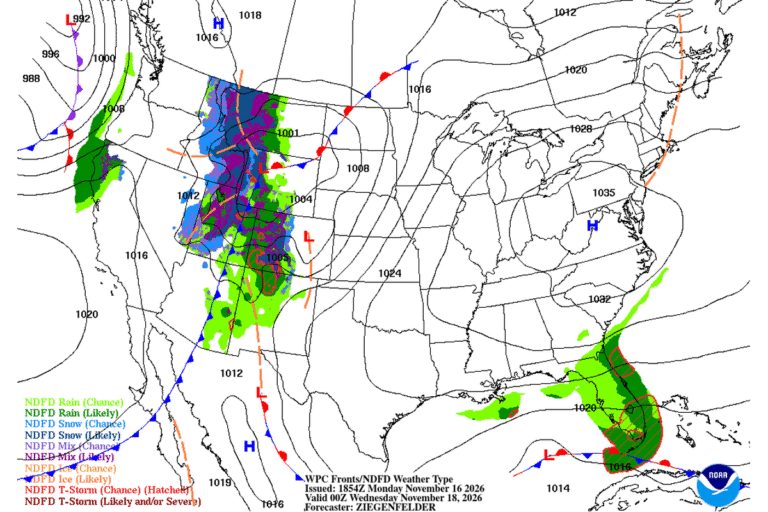
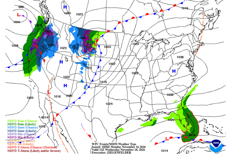
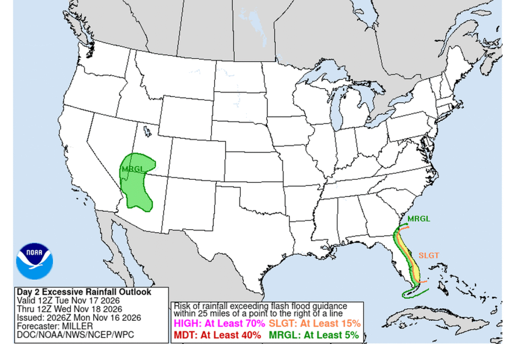
Gusty north-northeast winds will blow in from the Atlantic all week. In Melbourne, the forecast calls for showers and thunderstorms Tuesday night through Wednesday night, with gusts as high as 35 mph. The Weather Prediction Center has a slight risk of flooding rain along Florida’s east coast from Tuesday morning to Wednesday morning.
What flooding could look like
The Weather Service says runoff could flood rivers, creeks, streams and other low-lying spots. In Palm Beach County, poor-drainage and urban areas are most at risk. A watch means flooding is possible. If it starts, the Weather Service will issue warnings.
Cities affected
- Orlando, Fla.
- Daytona Beach, Fla.
- Melbourne, Fla.
- Cocoa, Fla.
- Vero Beach, Fla.
- West Palm Beach, Fla.
What to do
- Never drive through flooded roads or around barricades.
- Stay off riverbanks along the St. Johns River.
- Clear storm drains and gutters near your home before Tuesday afternoon.
- Make sure you can get Flood Warnings on your phone overnight.
Lodi Valley Chronicle publishes a new U.S. weather briefing every morning.