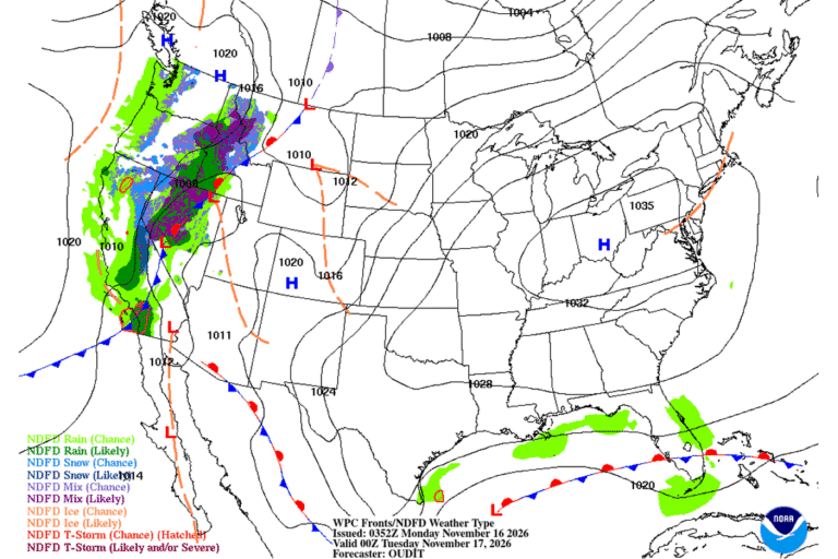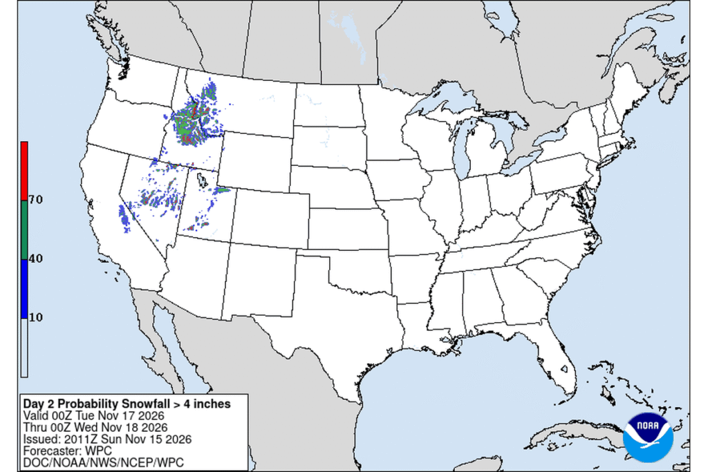
MISSOULA, Mont. — Snow is headed back to the mountain passes of western Montana and central Idaho. The National Weather Service in Missoula has a Winter Weather Advisory from 11 p.m. Monday to 11 p.m. Tuesday for elevations above 3,500 feet. It covers the Bitterroot and Sapphire mountains, Idaho’s southern Clearwater Mountains, and Lemhi County, Idaho.
How much snow
- Lolo Pass: 3 to 5 inches
- Lost Trail Pass and Williams Creek Summit: 4 to 9 inches
- Skalkaho Pass: 4 to 8 inches
- Painted Rocks and Sula: 2 to 4 inches
- Lemhi Pass and Bannock Pass: 2 to 4 inches
- Rock Creek area: 1 to 2 inches
- Gilmore: 1 to 3 inches
In Idaho’s southern Clearwater Mountains, 2 to 6 inches is expected, with 4 to 9 inches toward Nez Perce Pass. That area includes Elk City, Red River, Dixie and the Magruder Highway.
Timing
Snow begins late Monday night. The advisory warns that the hazardous conditions will affect both the Tuesday morning and evening commutes, especially on passes and backcountry Forest Service roads.
Southwest Montana
The Weather Service in Great Falls has a similar advisory for northwest Beaverhead County, also from 11 p.m. Monday to 11 p.m. Tuesday, with 2 to 6 inches of snow and slippery roads.
Utah’s southern mountains
The Weather Service in Salt Lake City has a Winter Weather Advisory from 9 p.m. Monday to 11 p.m. Tuesday for Utah’s southern mountains:
- 1 to 5 inches below 8,000 feet
- 5 to 10 inches above 8,000 feet
- locally higher amounts near Brian Head and in the Tushar Mountains
- gusts up to 45 mph
Expect winter driving on the higher stretches of state routes 143 and 14.
Cities affected
- Missoula, Mont.
- Hamilton, Mont.
- Darby, Mont.
- Salmon, Idaho
- Elk City, Idaho
- Cedar City, Utah
- Brian Head, Utah
What to do
- Check Montana, Idaho or Utah 511 road reports right before you leave.
- Carry chains or traction tires, plus warm layers and water.
- If you’re heading into the backcountry, expect Forest Service roads to be very difficult.
- Give plows room and slow down on the passes.
Lodi Valley Chronicle publishes a new U.S. weather briefing every morning.