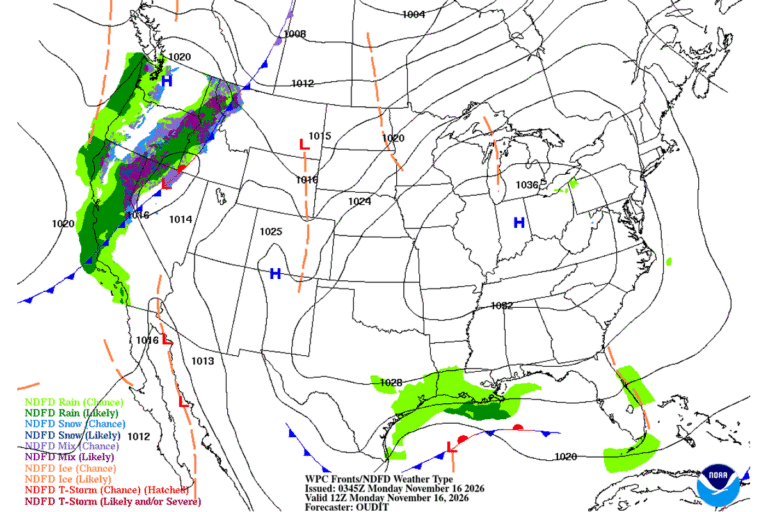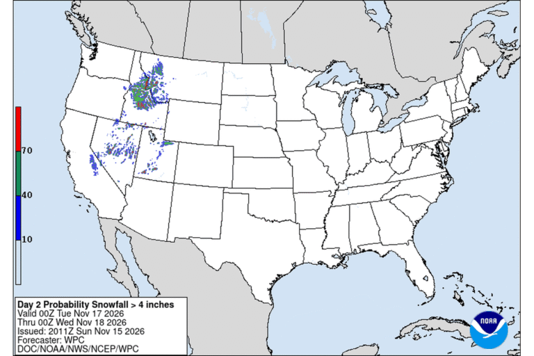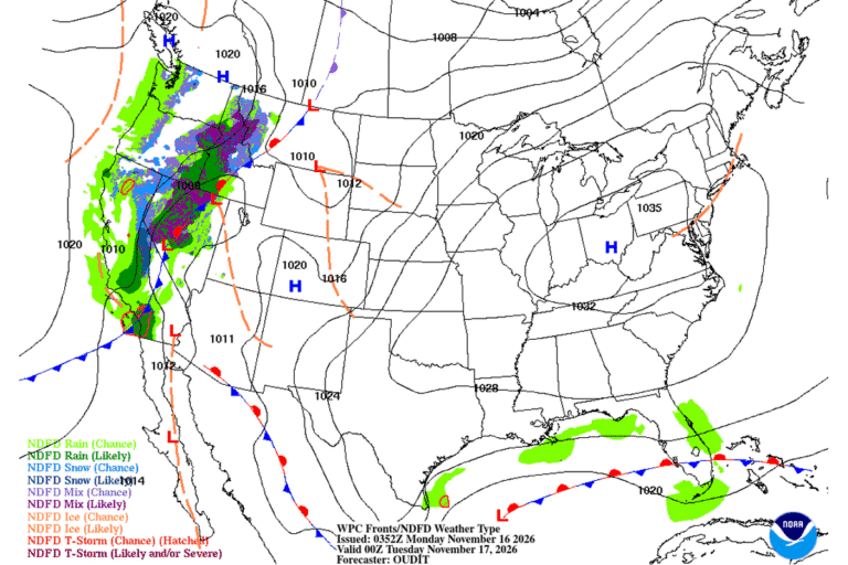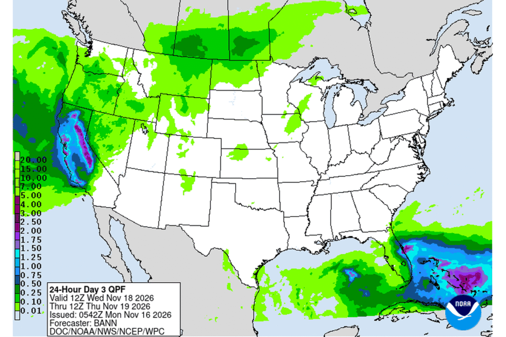
SOUTH LAKE TAHOE, Calif. — A stronger, colder storm is lining up for the Sierra Nevada this week. The National Weather Service in Reno has issued a Winter Storm Watch for the Lake Tahoe area and Mono County from late Tuesday night through late Thursday night. Above 7,000 feet around Tahoe, the watch calls for 2 to 3 feet of snow, with 8 to 18 inches possible around lake level.
Monday is the warm-up act
Before the big storm, a weaker system brings snow to the Tahoe Basin on Monday. A Winter Weather Advisory is in effect until 7 p.m. Monday for areas above 7,000 feet, with 3 to 7 inches expected and up to an inch around lake level. Forecasters said snow could fall at up to an inch an hour Monday morning, so expect winter driving on the passes during the morning commute.
How much snow, and where
Mono County could see some of the biggest totals:
- 2 to 3 feet west of U.S. 395
- 10 to 20 inches along U.S. 395
- 2 to 8 inches east of the highway
In Lassen, eastern Plumas and eastern Sierra counties, the watch calls for 6 to 12 inches above 5,500 feet, and locally up to 18 inches west of U.S. 395. Forecasters said the highest peaks along the Sierra crest could see up to 3 feet, with the latest data favoring Mono County for the top totals.
On the west slope, the Weather Service in Sacramento has its own watch: 1 to 2 feet is possible above 5,000 feet, including along Interstate 80 and Highway 50, with up to 3 feet on the highest peaks.
Wind and the Reno commute
Winds pick up late Tuesday along the ridges. Ridgetop gusts could reach 80 mph around Tahoe, and valley gusts of 25 to 35 mph are possible in western Nevada by Wednesday morning.
With cold air already in place, a short burst of snow could reach the valley floor around Reno, Carson City and Minden in time for the Wednesday morning commute. Later Wednesday, south winds should raise snow levels to 5,500 to 6,000 feet. Snow levels could drop again to 4,500 to 5,000 feet on Thursday.
What it means for travel
The watch warns that travel could be very difficult to impossible, and that both Wednesday commutes could be affected. If you need to cross the Sierra this week, Tuesday is the best window. Forecasters expect a dry break, with lows in the teens in the Sierra and the 20s in western Nevada valleys.
Looking ahead to Thanksgiving week
Friday looks chilly, with highs 10 to 15 degrees below normal and lingering snow showers. Another quick storm could sweep through late Saturday into Sunday. Forecasters said an active pattern may continue into Thanksgiving week, with the potential to disrupt holiday travel.
Cities affected
- South Lake Tahoe, Calif.
- Truckee, Calif.
- Mammoth Lakes, Calif.
- Bridgeport, Calif.
- Reno, Nev.
- Carson City, Nev.
What to do
- Plan any Sierra crossing for Tuesday, before the storm arrives.
- Carry chains, a full tank, warm layers, water and snacks.
- Check Caltrans and Nevada DOT road conditions right before you leave.
- Secure outdoor items before Wednesday’s wind.
Lodi Valley Chronicle publishes a new U.S. weather briefing every morning.