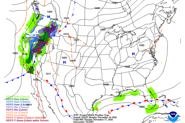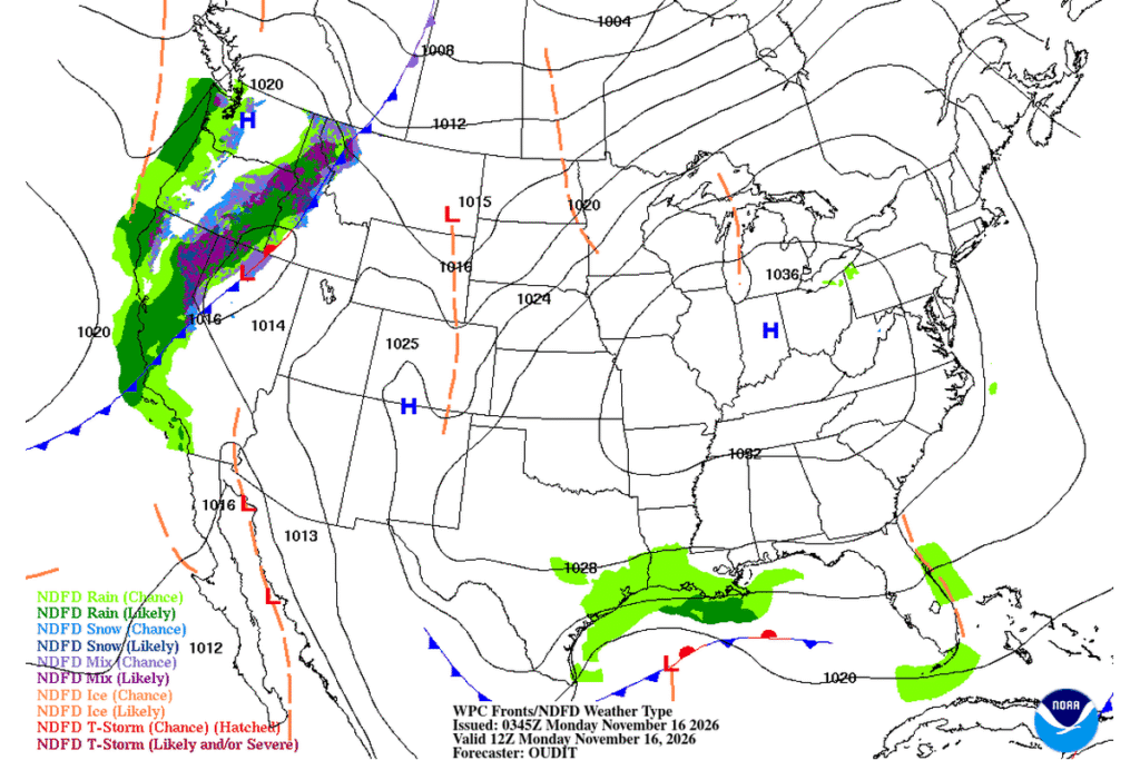
GALVESTON, Texas — Gusty winds and minor coastal flooding will make for a messy Monday morning along the upper Texas coast and in southwest Louisiana. The National Weather Service in Houston/Galveston has a Wind Advisory in effect until noon Monday, with east to northeast winds of 20 to 25 mph and gusts up to 35 mph on the mainland, and gusts of 40 to 45 mph on Galveston Island and the Bolivar Peninsula.
Where the wind is strongest
The Texas advisory covers:
- coastal Harris County
- Galveston, Brazoria, Matagorda and Jackson counties
- Chambers County
- Galveston Island and the Bolivar Peninsula
The strongest gusts are expected on the barrier islands. For Galveston Island, the Bolivar Peninsula and the Brazoria and Matagorda islands, the advisory calls for east to northeast winds of 20 to 30 mph with gusts up to 40 to 45 mph.
The Weather Service in Lake Charles has a similar advisory until noon Monday, with northeast winds around 20 mph and gusts up to 30 mph. It covers Cameron, Calcasieu, Jefferson Davis, Acadia and Vermilion parishes and lower Iberia Parish in Louisiana, plus Jefferson and Orange counties in southeast Texas. Gusts like these can blow around unsecured objects, bring down tree limbs and cause a few power outages.
Water on low-lying roads
A Coastal Flood Advisory runs until noon Monday for the Bolivar Peninsula, Galveston Island, and Brazoria and Matagorda beaches. Minor flooding is expected around high tide, covering lots, parks and roads, with isolated road closures.
Farther south:
- Aransas, Kleberg, Nueces and Calhoun county islands: a Coastal Flood Advisory runs until 9 a.m. Monday, with a high risk of rip currents through Monday afternoon (Weather Service in Corpus Christi).
- South Padre Island: coastal flooding and high surf advisories run until 6 a.m. Tuesday, with breakers of 3 to 8 feet and water pushing into the dunes. Beach driving won’t be possible except in four-wheel-drive vehicles with high clearance.
A river in flood in South Texas
Inland, the Nueces River near Tilden in McMullen County is in moderate flood. It stood at 16.4 feet Sunday evening, above its 14-foot flood stage, and was expected to crest near that level. The river is forecast to fall below flood stage Tuesday morning. Hunting cabins and oil field equipment are affected, and livestock can become isolated.
Cooler, then warmer
Houston’s forecast calls for a high near 59 Monday under partly sunny skies, after a chance of showers early. Sunshine returns Tuesday with a high near 65, and Wednesday reaches the low 70s.
Cities affected
- Galveston, Texas
- Houston
- Corpus Christi, Texas
- South Padre Island, Texas
- Lake Charles, La.
- Beaumont, Texas
What to do
- Don’t drive through water on coastal roads, especially around high tide.
- Secure trash cans, holiday decorations and patio furniture.
- Stay out of the surf; rip currents are dangerous through Monday.
- Skip beach driving on South Padre Island until the advisory ends.
Lodi Valley Chronicle publishes a new U.S. weather briefing every morning.