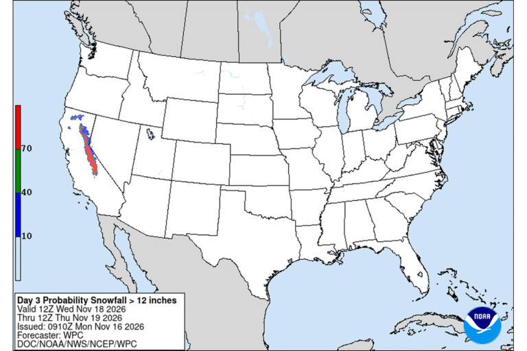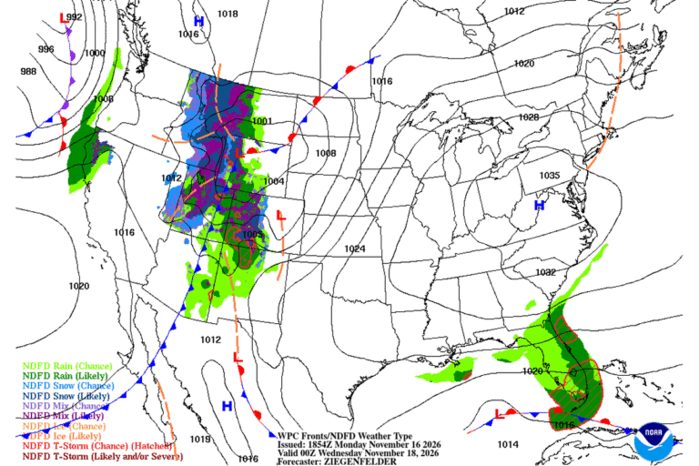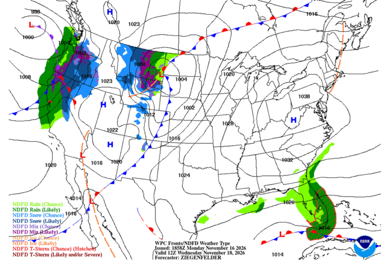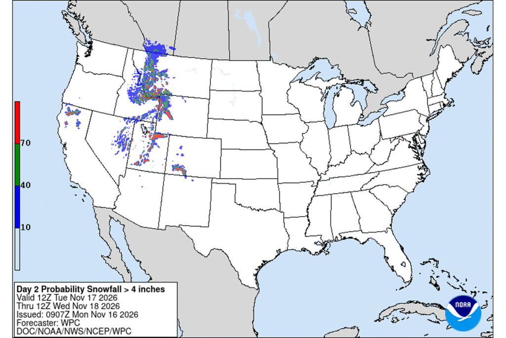
SALT LAKE CITY — The National Weather Service in Salt Lake City has issued a Winter Weather Advisory for the Wasatch Mountains and the Wasatch Back from 11 a.m. Tuesday to 11 a.m. Wednesday. Forecasters expect 4 to 8 inches of snow above 8,000 feet in the Wasatch Mountains, both north and south of Interstate 80, with more than a foot possible in the upper Cottonwood canyons.
Park City and the Wasatch Back
On the Wasatch Back, 1 to 4 inches is forecast, with the most in Park City and the Ogden Valley. Precipitation starts as rain there and turns to snow Tuesday evening. Park City’s forecast calls for rain and snow Tuesday, with a high near 47, temperatures falling to around 37 in the afternoon and gusts as high as 32 mph. Tuesday night brings 2 to 4 inches of snow, with a low around 24.
The commute over Parleys Summit
The Weather Service says travel could be difficult at times on mountain routes. The Tuesday evening and Wednesday morning commutes will be affected on high passes such as Parleys Summit on Interstate 80. The Utah Department of Transportation posts current road conditions at udottraffic.utah.gov.
Southern Utah’s mountains
A separate part of the advisory covers Utah’s southern mountains from 9 p.m. Monday to 11 p.m. Tuesday. Forecasters expect 1 to 5 inches below 8,000 feet and 5 to 10 inches above, with more possible near Brian Head and in the Tushar Mountains, and gusts as high as 45 mph. Expect winter driving on the higher parts of State Routes 143 and 14.
Rain in the valley
In Salt Lake City, the forecast calls for rain Tuesday, with a high near 55 and temperatures falling into the 40s during the afternoon. Rain mixes with snow Tuesday night, but little or no accumulation is expected, with a low around 30. Wednesday turns mostly sunny, with a high near 47. The Weather Service posts snowfall maps, including high-end and low-end amounts, at weather.gov/slc/winter.
Another round Wednesday night
The break won’t last long. Another round of precipitation is forecast to arrive after 11 p.m. Wednesday. Salt Lake City could see rain and snow overnight, with a low around 33, while Park City could pick up less than an inch of new snow. Anyone heading into the mountains Thursday morning should check the forecast again before leaving.
Cities affected
- Salt Lake City
- Park City, Utah
- Alta, Utah
- Brian Head, Utah
What to do
- Leave extra time for the Tuesday evening and Wednesday morning drives over Parleys Summit.
- Check UDOT road conditions before heading up the canyons.
- Carry a scraper, warm layers and water in your car.
- Slow down where rain changes to snow; roads can turn slick quickly.
Lodi Valley Chronicle publishes a new U.S. weather briefing every morning.