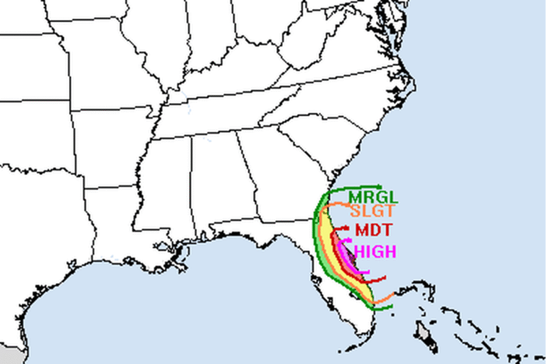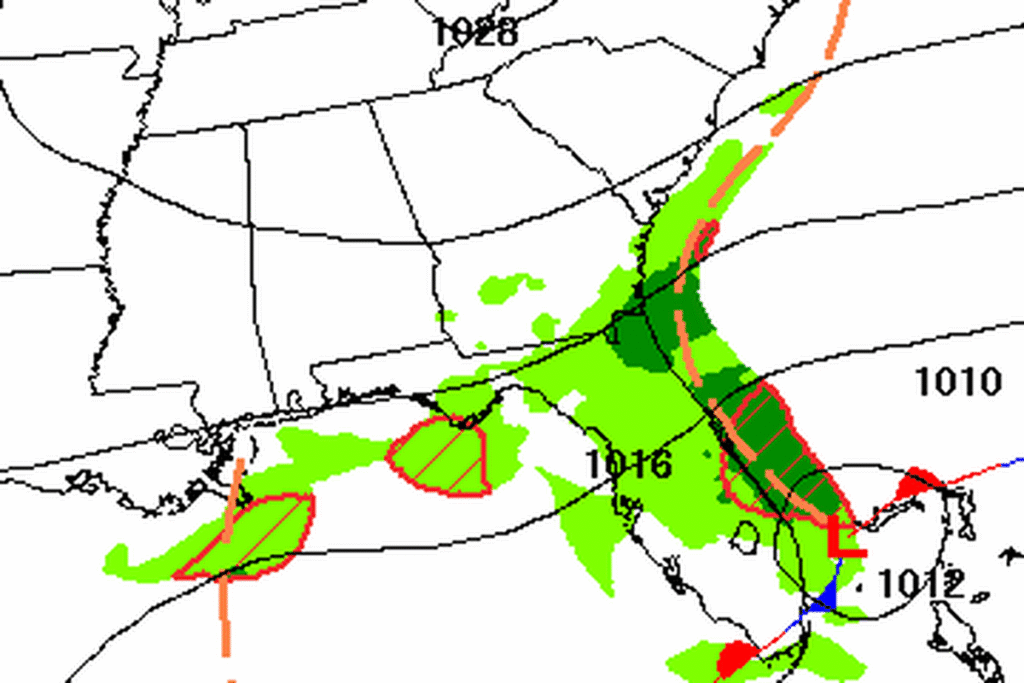
FORT LAUDERDALE, Fla. — The National Weather Service in Miami extended its Flood Watch for southeast Florida at 3:18 p.m. Thursday. The watch, which had been set to end at 7 p.m. Thursday, now runs until 7 a.m. Friday. It covers all of Palm Beach, Broward and Miami-Dade counties, from the coast to the inland suburbs.
Ground that can’t take more
Forecasters say 3 to 5 inches of rain has fallen widely along the east coast of South Florida over the past several days, with pockets of 8 to 15 inches. Those soaked neighborhoods are the most likely to flood again. Water was still standing in several parts of the Atlantic coast metro areas Thursday afternoon, and the office said any more rain overnight could make that flooding worse.
How much more
Showers through Thursday night are expected to drop 1 to 2 inches where they pass, with isolated totals of 3 to 5 inches. That is less than earlier in the week, when forecasters warned that isolated spots could top 8 inches. Forecasters said that even 1 to 2 inches could cause serious problems in the hardest-hit areas, and they lowered their threshold for Flash Flood Warnings there.
Runoff could flood canals, creeks and other low spots, along with poorly drained urban streets. The Weather Service urges residents to watch for Flash Flood Warnings and be ready to act.
Drying out
The heavy rain is expected to move north by late Friday morning or early afternoon, letting the watch expire. How fast that happens depends on a low forming in the western Atlantic. If it tracks strong and far enough west, Palm Beach County could see another day of heavy downpours, mostly 1 to 2 inches, with a small chance of 2 to 4 inches in an isolated spot. Elsewhere, only light showers are expected. Forecasters expect two or three mostly dry days after that, with seasonable temperatures late this weekend into early next week.
Rough seas and rip currents
Low pressure developing near the Bahamas will keep Atlantic waters hazardous through the weekend. Winds may drop below advisory levels by Friday, but seas likely won’t until the end of the weekend. Onshore winds turn more along the coast by Friday, but the risk of life-threatening rip currents at Palm Beach, Broward and Miami-Dade beaches is likely to last through Saturday, so swimmers should stay out of rough water.
Cities affected
- Miami
- Fort Lauderdale, Fla.
- West Palm Beach, Fla.
- Boca Raton, Fla.
- Hollywood, Fla.
What to do
- Never drive through flooded streets. Turn around and find another way.
- Watch for Flash Flood Warnings overnight and be ready to move to higher ground.
- If it’s safe, clear leaves and trash from storm drains near your home.
- Swim only where lifeguards are on duty, and stay out of the water when red flags fly.
Lodi Valley Chronicle publishes a new U.S. weather briefing every morning.