WALSENBURG, Colo. — The National Weather Service in Pueblo has a High Wind Warning from 11 p.m. Thursday to 4 p.m. Friday for the southern Sangre de Cristo Mountains and the Walsenburg area of Huerfano County. Southwest winds of 25 to 40 mph could gust to 75 mph in the mountains and up to 65 mph along the Interstate 25 corridor in Huerfano County. The most likely time for damaging winds is 5 to 11 a.m. Friday.
Why the southern Sangres
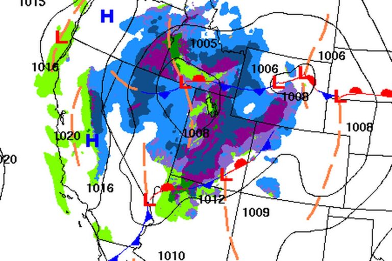
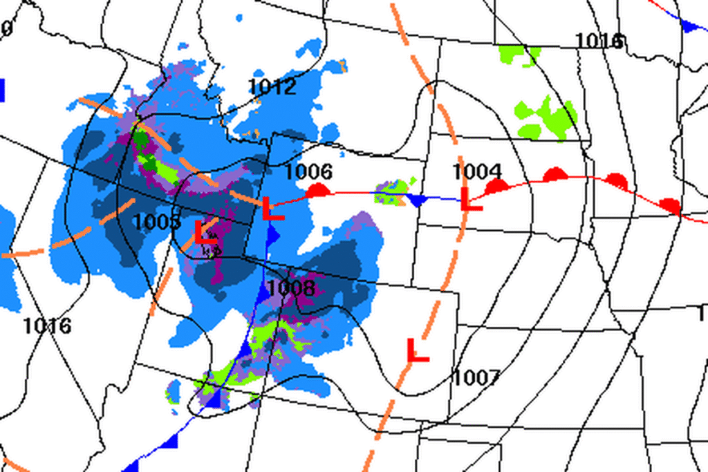
A broad trough and a strengthening low are moving toward southern Colorado from the west. Forecasters say south winds will pick up overnight and turn southwest as the jet stream moves overhead and mixes strong winds down toward the ground. The southern Sangres show just enough of a temperature inversion near the peaks to suggest stronger downslope winds, and gaps in the mountains funnel that wind onto I-25, mainly in Huerfano County.
The northern Sangres and Pikes Peak lack that setup, so they were left out of the warning. The office says it is watching both in case conditions change.
Power outages and hard driving
The Weather Service says damaging winds could blow down trees and power lines, and outages are possible. Travel could be difficult, especially for trucks, RVs and other high-profile vehicles. Cuchara, in the mountains, and La Veta, Gardner and Walsenburg, in the valleys below, are inside the warning area. The office urges people to secure loose objects that could blow around or be damaged.
Warm and windy on the plains
Elsewhere in southern Colorado, Friday will be gusty but below warning levels. Highs are forecast in the 40s and 50s in the mountain valleys and in the mid to upper 60s on the plains, warmed by winds coming down off the mountains.
Snow next
Moisture reaches the Continental Divide late Friday, bringing isolated to scattered snow showers to the high peaks into Saturday. Forecasters expect a quick-moving system Friday night to drop a few inches of snow in the mountains, with lower chances of a wintry mix on parts of the plains. A brief dusting is possible along I-25 near the Palmer Divide on Saturday, though significant amounts are not likely.
Cooler temperatures and lighter winds follow. Two more systems are possible next week, one Monday night into Tuesday and another on Thanksgiving. Forecasters say the holiday system bears watching because of the heavy travel expected.
Cities affected
- Walsenburg, Colo.
- La Veta, Colo.
- Cuchara, Colo.
- Gardner, Colo.
What to do
- Tie down or bring in trash cans, patio furniture and holiday decorations before bed Thursday.
- Drivers of trucks, RVs and trailers should avoid I-25 in Huerfano County Friday morning if they can.
- Charge phones and keep flashlights handy in case the power goes out.
- Check COtrip.org or call 511 for road conditions and closures.
Lodi Valley Chronicle publishes a new U.S. weather briefing every morning.