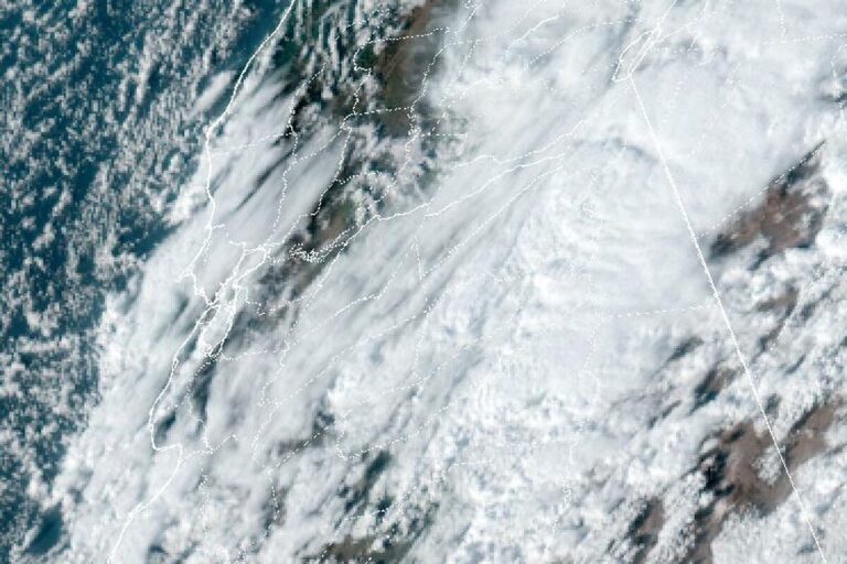
ALTAMONTE SPRINGS, Fla. — The National Weather Service in Melbourne extended its Flood Warning for the Little Wekiva River near Altamonte Springs on Thursday afternoon. It runs from Friday afternoon until 10:16 p.m. Friday. Heavy rain is expected to redevelop across Seminole County late Thursday night into Friday, and 2 to 4 inches would lift the river to around its 28.5-foot flood stage Friday afternoon. It is forecast to stay in minor flood Friday night.
Minor flooding near the river
At 3:30 p.m. Thursday, the river stood at 26.5 feet, a foot below bankfull. At flood stage, the Weather Service expects minor flooding near the river in the Altamonte Springs area. It reminds drivers that most flood deaths happen in vehicles and urges caution near riverbanks. The next update is due at 11:15 a.m. Friday.
The St. Johns keeps rising
The bigger concern in Seminole County is the St. Johns River, where separate Flood Warnings remain in effect until further notice. Above Lake Harney near Geneva, the warning says the river rose into major flood stage Thursday afternoon. It stood at 10.1 feet at 1:30 p.m., about 2 feet above flood stage, and is forecast to crest at 13 feet early Sunday afternoon, above its all-time record. At 10.8 feet, water covers State Road 46, which may become impassable near Jungle Road and Prevatt Road, and standing water on side roads near the river deepens past 3 feet.
Near Sanford, the river was at 6.1 feet, above its 5.5-foot flood stage, and is forecast to reach 7.7 feet early Tuesday, with more rises possible. At 7.4 feet, many secondary roads around Lake Monroe and in Enterprise may become impassable, and water approaches homes in River Oaks Estates. West of Cocoa, the river is at its record of 17.55 feet, and warnings also cover the river near DeLand and Astor. Forecasters blame weeks of exceptional rain in the upper basin.
Worst flash flood risk near the coast
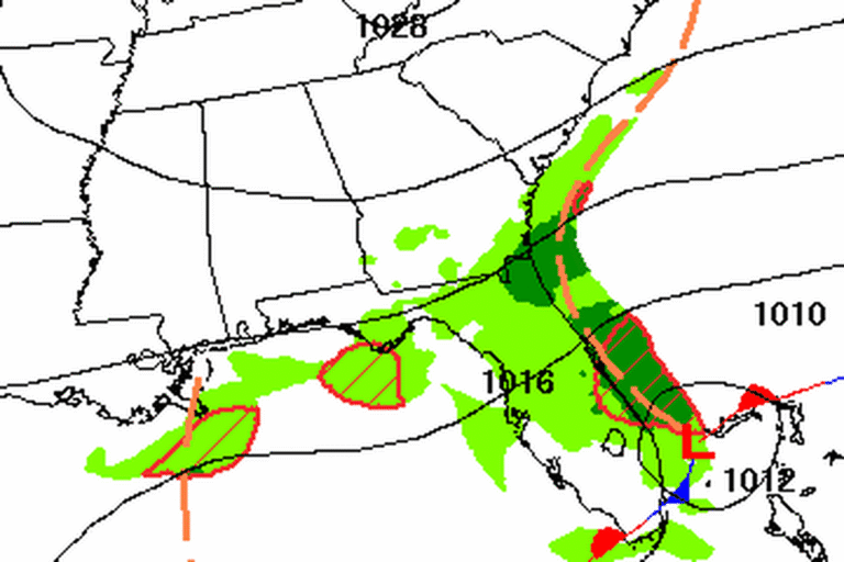
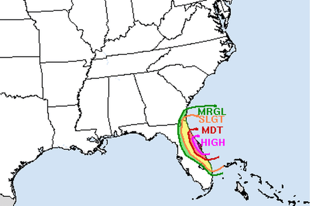
The Weather Prediction Center put much of Brevard County and parts of Volusia and Indian River counties under a High Risk, level 4 of 4, for excessive rainfall on Thursday. A Flood Watch covers east-central Florida through Friday. For Friday, the center has the region at a Slight to High Risk, with the greatest threat along the coast.
A low near the Bahamas
Low pressure is forecast to form near the northern Bahamas on Friday, with a 60% chance of becoming a subtropical or tropical storm as it moves north this weekend. Strong onshore winds will keep the surf rough, with moderate to locally major beach erosion possible and a high risk of life-threatening rip currents. A High Surf Advisory runs through Saturday. Rain chances drop on Saturday.
Cities affected
- Altamonte Springs, Fla.
- Sanford, Fla.
- Geneva, Fla.
- Enterprise, Fla.
What to do
- Never drive through a flooded road or around barricades. Turn around and find another way.
- Expect closures on State Road 46 near Geneva as the St. Johns rises.
- If you live near the St. Johns or the Little Wekiva, move valuables up and check river forecasts at water.noaa.gov/wfo/MLB.
- Stay out of the ocean while the surf is high.
Lodi Valley Chronicle publishes a new U.S. weather briefing every morning.