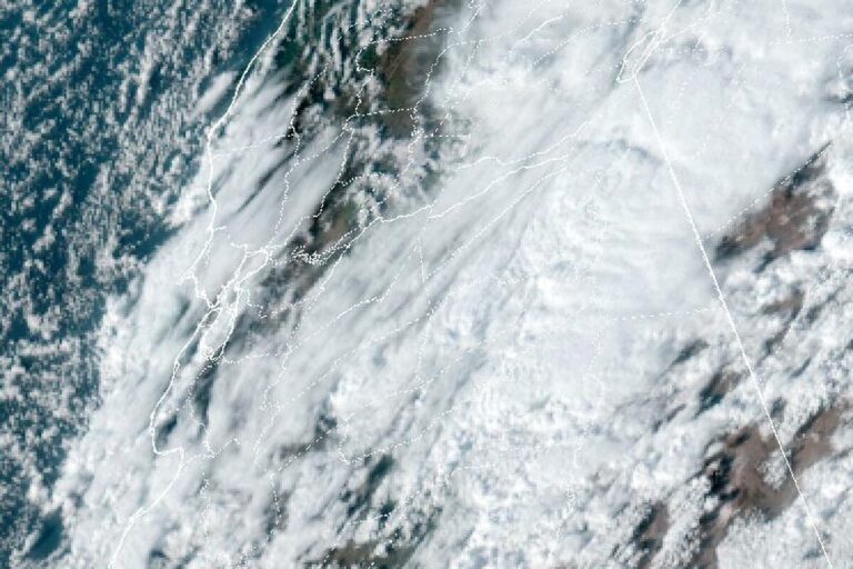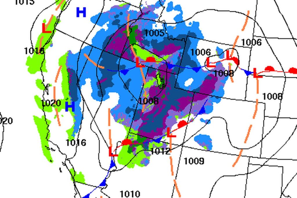
LAS VEGAS — The National Weather Service in Las Vegas upgraded its Winter Weather Advisory for the Spring Mountains and Red Rock Canyon to a Winter Storm Warning at 1:59 a.m. Thursday. Its afternoon update calls for 3 to 6 more inches of snow, mainly above 7,000 feet, and gusts of 40 to 50 mph until 4 a.m. Friday. On Wednesday, the advisory had called for 3 to 9 inches between 7,000 and 9,500 feet.
Blowing snow on the mountain
The office says travel will be difficult at higher elevations, and blowing snow could sharply cut visibility. Strong winds could damage trees and power lines. That matters for the roads up Kyle Canyon and Lee Canyon to Mount Charleston, where the snow and wind are expected to last into the night.
Eastern Sierra and central Nevada
The warning also covers the eastern slopes of the Sierra in Inyo County, where 5 to 10 more inches is forecast, most above 8,000 feet, with gusts of 45 to 55 mph. There, the Weather Service urges people to consider delaying all travel. Elevations above 6,500 feet in Esmeralda and central Nye counties could get 2 to 4 more inches, with gusts up to 40 mph.
A Winter Weather Advisory remains for the White Mountains of Inyo County, with up to 2 more inches and gusts of 30 to 40 mph. Forecasters said mountain totals for the storm would generally reach 6 to 12 inches above 6,000 feet, with more in the higher Sierra.
Wind until midnight
Wind Advisories run until midnight Thursday (1 a.m. MST in Arizona). Southwest winds of 20 to 30 mph, with gusts up to 45 mph, are expected across southern Clark County, Lake Mead and Lake Mohave, Lake Havasu and Fort Mohave, the Hualapai Mountains and the Mojave Desert, as well as western Clark and southern Nye counties, including Pahrump. Patchy blowing dust could cut visibility near dry lake beds. Strong crosswinds are possible on U.S. 95 between Indian Springs and Mercury. Tree limbs could come down, and a few power outages are possible.
Ending overnight
Rain totals in the valleys stay light. The storm shifts east late Thursday night, and the rain and snow end from west to east overnight, though rain could linger in western Arizona into Friday morning. Winds ease overnight. Friday stays breezy, but below advisory levels.
A chilly weekend
Temperatures stay 5 to 10 degrees below normal through the weekend, and nights will feel cold. Forecasters expect more storms heading into next week but say the models disagree on their timing and strength. They are watching for possible effects on Thanksgiving travel.
Cities affected
- Mount Charleston, Nev.
- Las Vegas
- Pahrump, Nev.
- Bishop, Calif.
- Lake Havasu City, Ariz.
What to do
- Before heading up Kyle Canyon (State Route 157) or Lee Canyon (State Route 156), check NDOT’s nvroads.com or call 511.
- If you must drive in the mountains tonight, carry chains, a flashlight, food and water.
- Bring in or tie down patio furniture, trash cans and decorations until the wind eases after midnight.
- Drivers of trucks, RVs and trailers should slow down on U.S. 95 between Indian Springs and Mercury.
Lodi Valley Chronicle publishes a new U.S. weather briefing every morning.