SALT LAKE CITY — The National Weather Service in Salt Lake City upgraded the Wasatch Mountains to a Winter Storm Warning at 9:33 a.m. Thursday. It replaces the Winter Weather Advisory that had called for 10 to 20 inches. The warning runs until 11 a.m. Saturday and calls for 12 to 24 inches of snow, with the most in the upper Cottonwood canyons and in the mountains near the Utah-Idaho border. It covers the Wasatch both north and south of Interstate 80.
Why the upgrade
Forecasters said computer models had raised their snow totals over several runs, especially for northern Utah. With 2 feet now forecast for parts of the Wasatch, including the upper Cottonwoods, they upgraded both mountain zones because of the expected impacts. The office expects slick, hazardous roads, especially on bridges and overpasses, and urges drivers to delay travel if they can.
A burst tonight, then the north
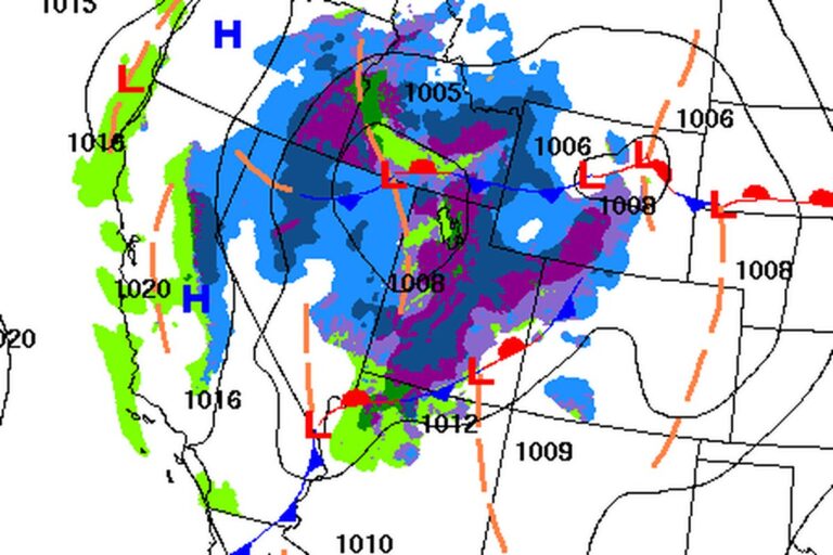
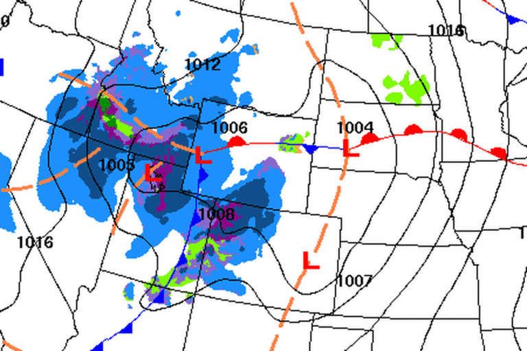
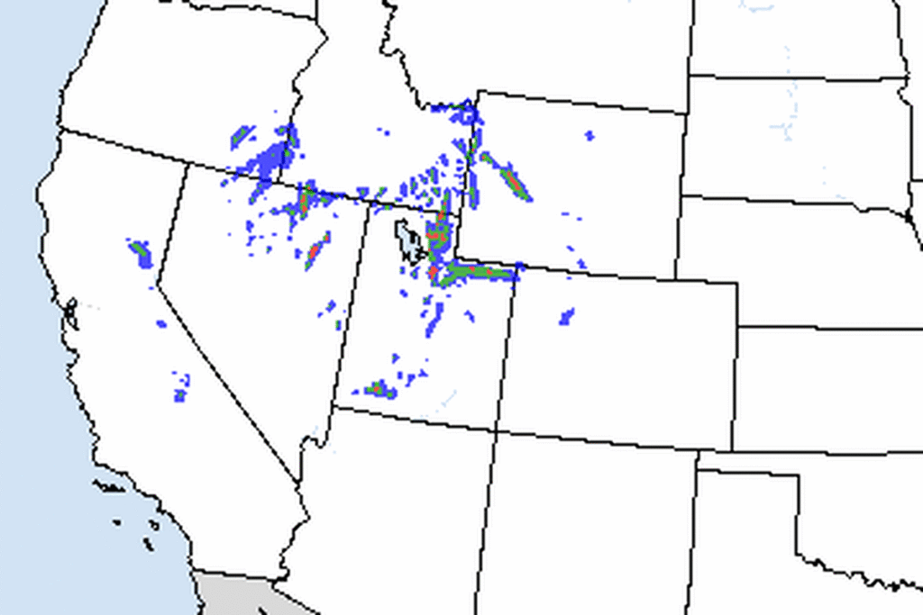
The storm is coming through in pieces. Light, steady rain and mountain snow fell through Thursday, with snow levels of 5,500 to 6,500 feet. A burst of heavier valley rain and mountain snow is expected Thursday night into early Friday as the front crosses the state. Behind the front, the precipitation focuses on northern Utah.
Snow on the valley floors
Snow levels drop through the day Friday and could reach northern Utah’s valley floors late Friday into early Saturday. Many valleys could see a rain-snow mix Friday afternoon and snow by Friday evening. At Salt Lake City International Airport, a rain-snow mix could arrive between about 10 a.m. and noon Friday.
Forecasters say valley totals will be limited by how long the precipitation lasts after the changeover, and by lighter rates by then.
Park City, the Uintas and Idaho
Winter Weather Advisories continue around the warning. The Wasatch Back can expect 4 to 8 inches in the Park City area and the Ogden Valley, with less near Heber City, until 5 a.m. Saturday. The office says the snow will affect the Thursday evening and Friday morning commutes. The western Uinta Mountains could get 6 to 12 inches by 11 a.m. Saturday. In the southern mountains, 3 to 7 inches is forecast above 6,500 feet until 5 p.m. Friday, with up to 12 inches in the Tushar Mountains and around Brian Head and gusts as high as 45 mph.
Across the border, the Weather Service in Pocatello has a Winter Storm Warning for Idaho’s Bear River Range and Big Hole Mountains from 5 p.m. Thursday to 5 a.m. Saturday, with 10 to 20 inches of snow.
A dry weekend, then more storms
High pressure brings dry weather Saturday and Sunday. Under clear skies and unusually cool air, freezing temperatures are possible in the Virgin River corridor near Zion National Park, more likely Saturday morning than Sunday. St. George could get close to freezing, though the office puts the chance of a freeze there as low.
The break will be short. A weaker system is expected Monday into Tuesday, mostly affecting southern Utah, and a stronger one could follow in the middle to latter part of next week.
Cities affected
- Salt Lake City, Utah
- Ogden, Utah
- Park City, Utah
- Alta, Utah
- Logan, Utah.
What to do
- Check UDOT Traffic (udottraffic.utah.gov) or call 511 before heading into the Cottonwood canyons or over mountain passes.
- If you must travel, carry a flashlight, food and water, and leave extra room behind the car ahead.
- Expect slick roads in northern Utah’s valleys late Friday and early Saturday if rain turns to snow.
- Protect pipes and plants near Zion National Park and St. George on Saturday morning.
Lodi Valley Chronicle publishes a new U.S. weather briefing every morning.